
Daisetta, Texas
dissolution·United States·salt dome
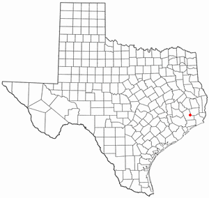
Daisetta, Texas, is a city in Liberty County known for its geological instability due to its location on a salt dome. This geological feature has led to the formation of multiple sinkholes, most notably a large one in 2008 nicknamed "Sinkhole de Mayo," which posed a significant risk to residents. The sinkholes are a direct consequence of the underlying salt dome's movement and potential dissolution.
Key Facts
- ›Daisetta is situated on a salt dome in Liberty County, Texas.
- ›Multiple sinkholes have formed in the area in 1969, 1981, and 2008.
- ›The 1981 sinkhole grew from a smaller 1969 event and became a lake.
- ›The 2008 sinkhole, nicknamed "Sinkhole de Mayo," reached dimensions of 600 by 525 feet and a depth of 150 feet.
- ›The 2008 sinkhole's formation is suspected to be linked to oil drilling activities.
- ›Another sinkhole formed adjacent to the 2008 sinkhole in 2023.
Sinkhole De Mayo
Freshwater
About Daisetta, Texas
Daisetta, Texas: A City Shaped by Salt Domes and Sinkholes
Daisetta is a city situated in Liberty County, Texas, notable for its geological susceptibility to sinkhole formation. Its location atop a salt dome is the primary driver behind these dramatic natural events, which have impacted the landscape and community.
Geological Significance
The underlying salt dome in Daisetta is a key geological feature. The dissolution and movement of this salt can lead to the collapse of overlying rock strata, resulting in the formation of sinkholes. Several significant sinkhole events have been recorded in Daisetta's history. In 1969, a sinkhole formed, which later expanded and merged with a subsequent collapse in 1981 to create a lake. A more prominent event occurred in 2008 when a large sinkhole, nicknamed "Sinkhole de Mayo," emerged. This sinkhole reached impressive dimensions, measuring approximately 600 by 525 feet (183 m × 160 m) with a maximum depth of 150 feet (46 m). The cause of the 2008 sinkhole is suspected to be related to oil drilling activities in the area. The formation of these sinkholes has presented ongoing concerns for the safety of city residents.
Recent Developments
In 2023, another sinkhole was documented forming in close proximity to the large 2008 sinkhole, underscoring the continuing geological instability associated with the salt dome. These events highlight the dynamic nature of the Daisetta region's geology and the potential for further sinkhole development.
Source: Wikipedia ↗
Frequently Asked Questions
What causes sinkholes in Daisetta, Texas?
Sinkholes in Daisetta are primarily caused by the city's location on a salt dome. The movement and dissolution of this underlying salt can lead to collapses in the overlying rock formations, creating sinkholes.
When did the major sinkholes form in Daisetta?
Significant sinkhole events in Daisetta occurred in 1969, 1981, and notably in 2008. Another sinkhole formed in 2023 near the site of the 2008 event.
What is the "Sinkhole de Mayo"?
"Sinkhole de Mayo" is the nickname given to the large sinkhole that formed in Daisetta in 2008. It was named as a pun on the "Cinco de Mayo" holiday due to its formation around that time.
How large was the "Sinkhole de Mayo"?
The "Sinkhole de Mayo" measured approximately 600 by 525 feet (183 m × 160 m) and reached a maximum depth of 150 feet (46 m).
Are the sinkholes a danger to Daisetta residents?
Yes, the sinkholes have been considered a potential risk to the safety of city residents. The 2008 sinkhole, despite stabilizing, was still viewed as a potential hazard.
Related Sinkholes

Big Basin Prairie Preserve
The Big Basin Prairie Preserve in Kansas encompasses a significant sinkhole system, most notably the mile-wide Big Basin and the water-filled St. Jacob's Well. These geological features, formed by sinkhole activity, are historically notable as resting places for the Northern Cheyenne and landmarks for cattle drives. The preserve is a designated National Natural Landmark, managed to protect its unique landscape and wildlife.
Deep Lake (Florida)
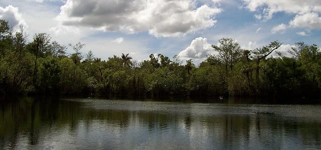
Deep Lake is a natural sinkhole located within Florida's Big Cypress National Preserve. It is geologically significant as the deepest lake south of Lake Okeechobee and one of the deepest in the entire state, forming the namesake for the surrounding community and a nearby swamp strand.

Devil's Millhopper Geological State Park
Devil's Millhopper Geological State Park features a massive sinkhole in Florida, notable for its exposed limestone layers and the unique ecological environments it supports. The sinkhole's formation through limestone dissolution has created a dramatic geological record, making it a significant site for scientific study and public appreciation of karst topography.