
Canyon de Chelly
Canyon de Chelly National Monument, located in northeastern Arizona, preserves one of North America's longest continuously inhabited landscapes. Established in 1931, it protects the canyons and ruins of indigenous tribes, from the Ancestral Puebloans to the Navajo. The monument is unique as it is entirely owned and cooperatively managed by the Navajo Nation, with approximately 40 Navajo families residing within its boundaries.
Key Facts
- ›Covers 83,840 acres and includes the floors and rims of de Chelly, del Muerto, and Monument Canyons.
- ›Owned and cooperatively managed by the Navajo Nation, with no federally owned land within the monument.
- ›Access to the canyon floor is restricted and requires accompaniment by a park ranger or authorized Navajo guide, except for the White House Ruin Trail.
- ›Notable geological feature is Spider Rock, a 750-foot sandstone spire.
- ›Most visitors view the canyon from the rim via North Rim Drive and South Rim Drive, observing ruins and geological structures from a distance.
- ›No entrance fee is charged to enter the park, though tour companies may charge fees.

Tséyiʼ
River Erosion
Spider Rock, Mummy Cave, White House Ruin
TséYiʼ
About Canyon de Chelly
Canyon de Chelly National Monument
Canyon de Chelly National Monument, located in northeastern Arizona within the Navajo Nation, stands as a testament to one of North America's longest continuously inhabited landscapes. Established on April 1, 1931, it encompasses the floors and rims of three major canyons: de Chelly, del Muerto, and Monument, which were carved by streams originating in the nearby Chuska Mountains. The monument spans 83,840 acres and is uniquely owned and cooperatively managed by the Navajo Nation, with no federally owned land within its boundaries, making it the only National Park Service unit managed this way.
History and Indigenous Significance
The canyon has a rich history of human occupation, preserving ruins of indigenous tribes from the Ancestral Puebloans to the Navajo. The Navajo word for the canyon, Tséyiʼ, meaning "rock canyon" or "inside the rock," reflects its geological character. Historically, it was occupied by Hopi Indians before the Navajo migrated there from northern New Mexico around the early 1700s. The area has also witnessed significant historical conflicts, including Spanish and U.S. military actions in the 19th century, which led to periods of hardship and removal for the Navajo people. Despite this history, approximately 40 Navajo families continue to reside within the monument today.
Geological Features and Visitor Access
A prominent geological feature is Spider Rock, a striking sandstone spire that rises 750 feet from the canyon floor at the confluence of Canyon de Chelly and Monument Canyon. Visitors typically experience Canyon de Chelly from the scenic overlooks along North Rim Drive and South Rim Drive, offering distant views of ancient ruins and geological formations. Direct access to the canyon floor is restricted and requires accompaniment by a park ranger or an authorized Navajo guide, with the White House Ruin Trail being a notable exception, open seasonally. Private Navajo-owned companies also offer guided tours of the canyon floor via various means, including horseback riding and four-wheel-drive vehicles. The monument does not charge an entrance fee, though tour operators may impose their own charges.
Source: Wikipedia ↗
Frequently Asked Questions
What does 'Canyon de Chelly' mean?
The name 'Chelly' is a Spanish adaptation of the Navajo word 'Tséyiʼ', which means 'rock canyon' or literally 'inside the rock'. The Navajo pronunciation is [tséɣiʔ], while the adapted English pronunciation is 'də-SHAY'.
Who lives in Canyon de Chelly?
Approximately 40 Navajo families live within the boundaries of Canyon de Chelly National Monument. The land is entirely owned by the Navajo Tribal Trust of the Navajo Nation.
How can I access the canyon floor?
Access to the canyon floor is generally restricted. Visitors must be accompanied by a park ranger or an authorized Navajo guide. The White House Ruin Trail is an exception and is open seasonally.
What are the main geological features of Canyon de Chelly?
The monument encompasses three major canyons: de Chelly, del Muerto, and Monument. A distinctive geological feature is Spider Rock, a 750-foot sandstone spire located at the junction of Canyon de Chelly and Monument Canyon.
What is the history of human habitation in Canyon de Chelly?
Canyon de Chelly has been continuously inhabited for centuries. It was sporadically occupied by Hopi Indians before the Navajo moved in around the early 1700s. The area preserves ruins from the Ancestral Puebloans and has a significant history of Navajo life and conflict with external forces.
What is the climate like in Canyon de Chelly?
Canyon de Chelly experiences a cold semi-arid climate. Recorded temperatures have ranged from a high of 105 °F (40.6 °C) to a low of -32 °F (-35.6 °C).
Related Canyons
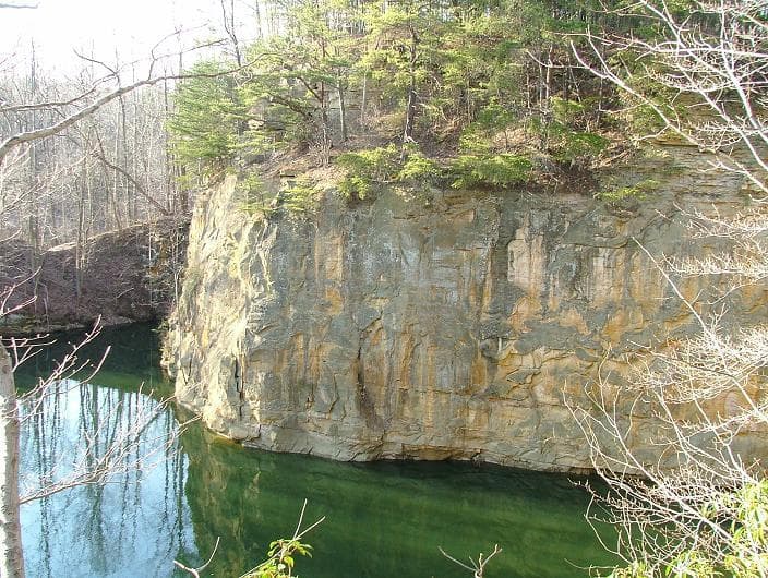
Blackhand Gorge
Blackhand Gorge is a 4-mile-long sandstone formation in Licking County, Ohio, carved by the Licking River. Named for a prehistoric petroglyph of a black hand, the gorge has served as a vital transportation corridor for centuries, hosting canal boats, railroads, interurban cars, and automobiles. Designated an Ohio Nature Preserve in 1975, it preserves a unique geological and historical landscape.
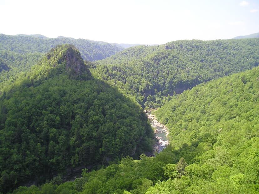
Breaks Canyon
Breaks Canyon, often referred to as "the Breaks" and sometimes called the "Grand Canyon of the South," is a significant gorge carved by the Russell Fork River in southeastern Kentucky and southwestern Virginia. This natural wonder, formed over millions of years of erosion, is a prominent feature within Breaks Interstate Park, a unique bi-state park managed jointly by Virginia and Kentucky.

Canyonlands National Park
Canyonlands National Park is a national park in southeastern Utah, celebrated for its dramatic landscape of canyons, mesas, and buttes carved by the Colorado and Green Rivers. Established in 1964, it is a testament to millions of years of geological processes, primarily erosion, and preserves a unique desert environment that was once home to Ancestral Puebloans. The park is a popular destination for recreation, offering rugged trails and challenging whitewater experiences, while also serving as a critical area for scientific study regarding climate change impacts on desert ecosystems.