
Cromwell Gorge
River Canyon·New Zealand·Miocene·Clutha River
Cromwell Gorge is a steep gorge carved by the former Clutha River in New Zealand's Central Otago region. It winds between the Dunstan and Cairnmuir Mountains, historically significant for gold mining and fruit orchards. The gorge and parts of old Cromwell were flooded in the early 1990s to create Lake Dunstan behind the Clyde Dam.
Key Facts
- ›Winds 19 km between the Dunstan and Cairnmuir Mountains.
- ›Maximum relief from gorge rim (Leaning Rock, 1647 M) to lake floor (194 M) is 1,453 M.
- ›Geology dominated by Haast Schist Group rocks, formed during the Rangitata Orogeny.
- ›Historically a route for Māori moa hunters and later for European pastoralists and gold miners.
- ›Flooded in the early 1990s to form Lake Dunstan behind the Clyde Dam.
- ›The Dunstan Trail, a cycle route, opened along the lake's bank in 2021.

River Erosion, Tectonic Activity
Rocky Tors, Craggy Outcrops, Lake Dunstan
Moa, KāKā, Tuatara
Tussock Grassland, Scrub, Wildflowers, Totara, Beech Forest, KōWhai
Mata-Au
About Cromwell Gorge
The Cromwell Gorge is a striking natural feature in the Central Otago region of New Zealand's South Island. This steep-sided gorge was carved by the former Clutha River (Mata-Au) and extends for approximately 19 kilometers between the Dunstan and Cairnmuir Mountains, serving as a natural link between the townships of Cromwell and Clyde. Historically, it was a vital thoroughfare for both Māori and European settlers, recognized for its gold mining potential and its fertile lands that supported extensive orchards.
Geography and Geology
The gorge's formation is attributed to the simultaneous uplift of the surrounding mountains and the persistent erosion by the Clutha River. The relief within the gorge is substantial, with a difference of 1,453 meters from the highest point, Leaning Rock (1,647 m), to the current floor of Lake Dunstan (194 m). The geology is dominated by the Haast Schist Group, characterized by rocky tors and craggy outcrops. These schistose rocks, formed during the Rangitata Orogeny and later deformed by Miocene tectonic activity, create the rugged topography of the gorge.
Historical Significance
Historically, the Cromwell Gorge was an important route for early Māori moa hunters traversing Central Otago. European settlement followed in the mid-19th century, with Nathanael Chalmers being one of the first to navigate the Clutha River through the gorge in 1853. The discovery of gold in 1862 triggered a significant gold rush, transforming the area and attracting prospectors, including Chinese miners who established settlements. The gorge also became renowned for its orchards, particularly stone fruits, benefiting from a unique microclimate that allowed for early ripening.
The Clyde Dam and Lake Dunstan
In the late 20th century, the construction of the Clyde Dam project led to a dramatic transformation of the Cromwell Gorge. The dam's creation resulted in the flooding of the gorge floor and parts of old Cromwell to form Lake Dunstan. This inundation submerged much of the historical landscape, including orchards and the former Otago Central Railway line. In 2021, the Dunstan Trail, a significant new cycle route, was opened along the lake's right bank, providing a modern recreational artery through the transformed landscape.
Source: Wikipedia ↗
Frequently Asked Questions
How was the Cromwell Gorge formed?
The gorge was formed by the antecedent incision of the Clutha River in response to the uplift of the surrounding Dunstan and Cairnmuir Mountains. This geological process occurred over a long period, shaping the landscape.
What is the geology of the Cromwell Gorge?
The gorge is characterized by the Haast Schist Group, which includes grey quartzofeldspathic metagreywacke, micaceous meta-argillite, and greenschist. These rocks were formed during the Rangitata Orogeny and exhibit a well-defined schistosity.
What significant human activities have taken place in Cromwell Gorge?
Historically, the gorge was an important route for early Māori moa hunters. Later, it was a site for gold rushes in the 19th century and was known for its productive stone fruit orchards.
How has the Clyde Dam project affected Cromwell Gorge?
The construction of the Clyde Dam led to the flooding of the gorge floor and parts of old Cromwell in the early 1990s, creating Lake Dunstan. This inundation submerged historical sites, orchards, and the former railway line.
What activities are available in the Cromwell Gorge area today?
The Dunstan Trail, a major cycle route, was opened on the right bank of Lake Dunstan in 2021, offering recreational opportunities. The area remains an important access route into Central Otago.
Related Canyons

Poolburn Gorge
Poolburn Gorge is a striking canyon in New Zealand's Central Otago region, carved by the Ida Burn through the Raggedy Range. Its formation through schist rock bluffs showcases a dramatic landscape of dry, barren slopes topped with tussock and hardy shrubs, contrasting with the lush vegetation lining the riverbanks. The gorge is notable for the historic Otago Central Railway, now a popular rail trail, which traverses its length via impressive viaducts and tunnels.

Columbia River Gorge
The Columbia River Gorge is a significant canyon carved by the Columbia River as it flows westward through the Cascade Range, forming the boundary between Washington and Oregon. This 130 km (80 mile) long and up to 1,200 m (4,000 ft) deep water gap is the sole navigable route through the Cascades and the only water connection between the Columbia Plateau and the Pacific Ocean. It is a popular recreational destination and federally protected as the Columbia River Gorge National Scenic Area.
Fraser Canyon
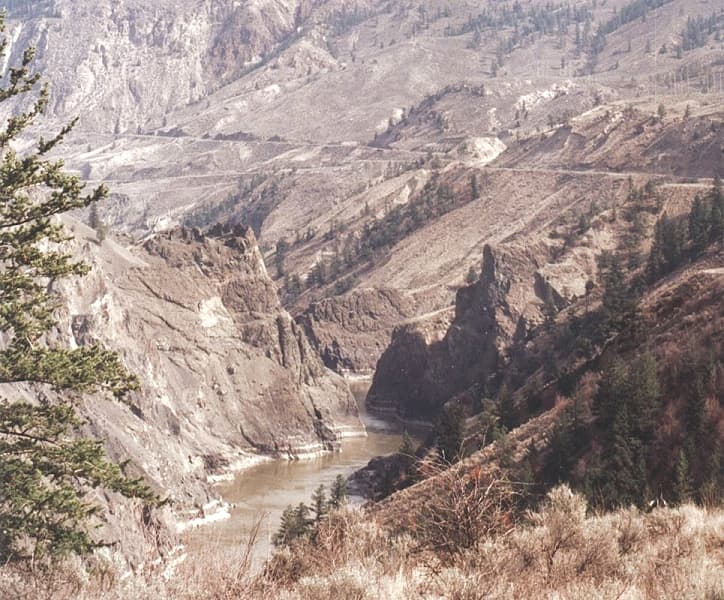
Fraser Canyon is a significant landform carved by the Fraser River as it descends through narrow rock gorges in British Columbia's Coast Mountains. Formed during the Miocene period by river erosion cutting into the uplifting Interior Plateau, it served as a crucial, albeit perilous, transportation corridor during the frontier era and continues to be a vital route for railways and highways. The canyon is characterized by its dramatic cliffs, deep gorges, and historically significant sites like Hells Gate, a major bottleneck for salmon migration and a former gold rush town.