
Sierra y Cañones Guara
River Canyon·Spain·Alcanadre River
The Sierra y Cañones de Guara Natural Park is a protected area in the Sierra de Guara mountain range in the Province of Huesca, Aragon, northern Spain. Established in 1990, it encompasses a vast landscape characterized by significant altitude variations and unique geological formations, making it a notable natural reserve.
Key Facts
- ›Covers approximately 47,450 hectares, with an additional 33,775-hectare peripheral protection zone.
- ›Includes territories within numerous Spanish municipalities, such as Alquézar, Bierge, and Boltaña.
- ›Features an altitude range from 430 meters at the Alcanadre River to 2,077 meters at the summit of Tozal de Guara.
- ›Contains the natural rock formation known as Salto de Roldán ('Roland's Leap').
- ›Established as a Natural Park in 1990.
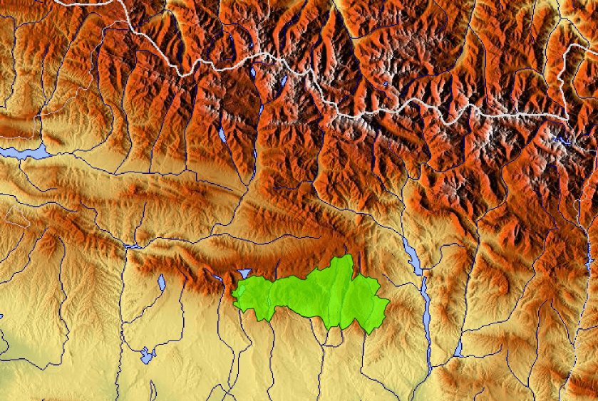
- Parque Natural de la Sierra y los Cañones de Guara
River Erosion
Salto De RoldáN, Tozal of Guara Summit
About Sierra y Cañones Guara
What is Sierra y Cañones de Guara Natural Park?
The Sierra y Cañones de Guara Natural Park, also known by its Spanish name Parque natural de la Sierra y los Cañones de Guara, is a significant protected area situated in the Sierra de Guara mountain range. Located in the Province of Huesca, within the autonomous community of Aragon in northern Spain, this park was officially established in 1990.
Geography and Landscape
This expansive natural park covers an area of approximately 47,450 hectares, further enhanced by a peripheral zone of protection that adds an additional 33,775 hectares. Its diverse geography spans across numerous municipalities, including Abiego, Alquézar, Bierge, and Boltaña, among others. The park's landscape is characterized by dramatic altitude variations, with elevations ranging from 430 meters at the Alcanadre River to the imposing summit of Tozal de Guara, which reaches 2,077 meters. This significant topographical diversity contributes to the park's unique ecological features and geological formations.
Notable Features and Legends
A key geological landmark within the park is Salto de Roldán, or 'Roland's Leap,' a striking natural rock formation found in the westernmost section of the park. This formation is steeped in local folklore, with several legends attributing its origin to Roland, a renowned paladin of Charlemagne. These stories add a layer of cultural significance to the park's already impressive natural beauty.
Source: Wikipedia ↗
Frequently Asked Questions
What is the Sierra y Cañones de Guara Natural Park?
The Sierra y Cañones de Guara Natural Park is a protected natural area located in the Sierra de Guara mountain range in the Province of Huesca, Aragon, northern Spain. It was established in 1990 to preserve its natural landscape and features.
What is the geographical extent of the park?
The park covers an area of about 47,450 hectares, with an additional peripheral zone of protection extending over 33,775 hectares. It spans across multiple municipalities in the Province of Huesca.
What are the altitude variations within the park?
The park exhibits significant altitude differences, ranging from 430 meters at the Alcanadre River in its lower reaches to 2,077 meters at the summit of Tozal de Guara, the highest point.
Are there any notable geological formations in the park?
Yes, the park contains Salto de Roldán ('Roland's Leap'), a natural rock formation situated in its westernmost part. This formation is associated with legends involving Roland, a paladin of Charlemagne.
Related Canyons
Arribes del Duero Natural Park
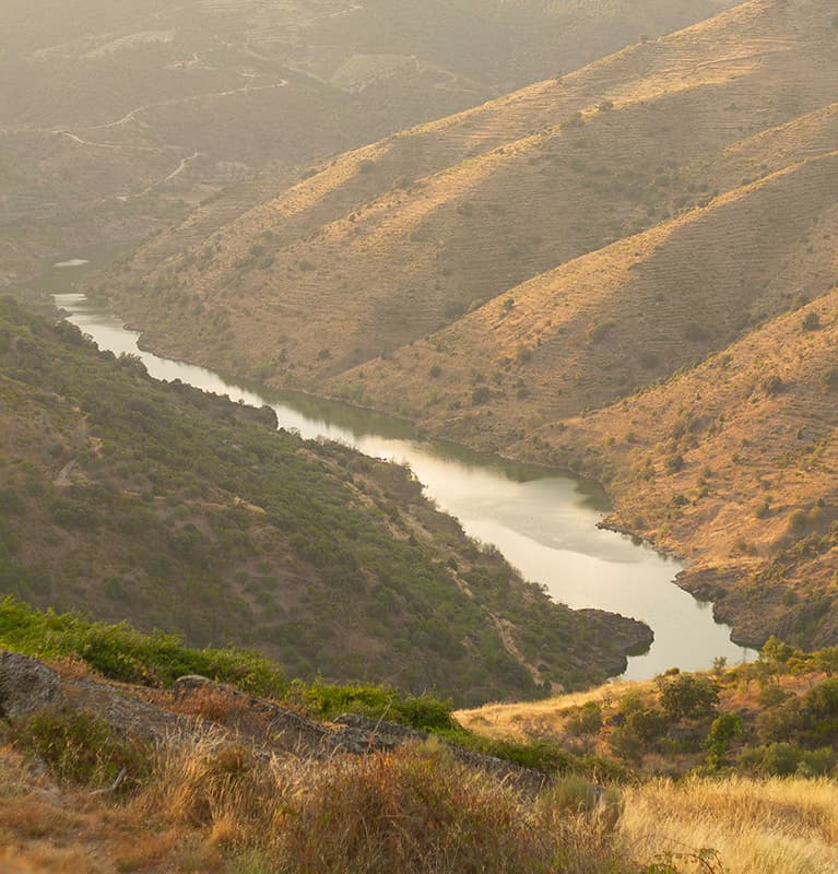
Arribes del Duero Natural Park is a protected area in western Spain, encompassing 1,061.05 km2 within the Castile and León region. It is renowned for its rich biodiversity and the dramatic landscapes carved by the Duero River, which forms the border with Portugal. The park's name, 'Arribes,' reflects these deeply eroded valleys and steep cliffs.

Caminito del Rey
The Caminito del Rey, meaning 'The King's Little Path,' is a walkway constructed in the early 20th century along the walls of a narrow gorge in Málaga, Spain. Originally built for workers of hydroelectric power plants, it became known for its dangerous sections, leading to its closure for over a decade before extensive renovations and its reopening in 2015. The walkway offers a dramatic experience through a landscape shaped by millions of years of geological processes.

Duratón River Gorges
The Duratón River Gorges Natural Park is a protected area in Spain, characterized by dramatic 100-meter-high cliffs carved by the Duratón River. This region holds historical significance, having been a hermitage for Saint Fructus in the 8th century, and it remains a vital habitat for a significant population of griffon vultures and other raptors.