
Sil Canyon
River Canyon·Spain·Sil River
Sil Canyon, also known as Canón do Sil in Galician, is a dramatic gorge in Galicia, Spain, formed by the Sil River over its final 50 kilometers before meeting the Minho. Its towering, near-vertical walls reaching 500 meters create a unique microclimate supporting Mediterranean vegetation and the centuries-old terraced cultivation of grape vines, making it the renowned Ribeira Sacra wine region.
Key Facts
- ›The canyon's walls rise nearly vertically to a height of 500 meters above the water level.
- ›It covers the last 50 kilometers of the Sil River's course before it flows into the Minho River.
- ›The extraordinary terrain supports Mediterranean vegetation, including olive trees.
- ›River cliffs are terraced for grape vine cultivation, a practice dating back to Roman times.
- ›The area is known as the Ribeira Sacra wine region, unique in Galicia for producing more red than white wine.
- ›It is classified under Natura 2000 as a site of community importance, hosting rare bird species and mammals like otters and bats.

Canón do Sil
River Erosion
Terraced River Cliffs, Mediterranean Vegetation, Olive Trees
Rare Bird Species, Otters, Bats
Mediterranean Vegetation, Olive Trees, Grape Vines
About Sil Canyon
Sil Canyon, known in Galician as Canón do Sil, is a breathtaking natural formation located in the Galicia region of Spain. This spectacular gorge encompasses the final 50 kilometers of the Sil River's journey before it merges with the Minho River. The canyon is celebrated for its dramatic scenery, with near-vertical walls that ascend approximately 500 meters above the water's surface, creating a visually stunning landscape considered among the most spectacular in Galicia.
Geology and Climate
The extraordinary topography of Sil Canyon significantly influences its local climate, fostering conditions that differ from the surrounding areas. This unique microclimate supports the growth of Mediterranean vegetation, including characteristic olive trees. The steepness of the river cliffs has historically been adapted by human intervention, with extensive terracing implemented to facilitate the cultivation of grape vines.
Wine Production and Ecology
The practice of cultivating grape vines in Sil Canyon began as early as Roman times, establishing a long-standing tradition of viticulture. Today, the area is globally recognized as the Ribeira Sacra wine region. This designation is particularly notable as it is the only place in Galicia where more red wine is produced than white wine. Ecologically, the canyon is a significant habitat. It is classified under the Natura 2000 network as a site of community importance, providing a home for several rare bird species and various mammals, including otters and bats, underscoring its biodiversity value.
Source: Wikipedia ↗
Frequently Asked Questions
What is Sil Canyon and where is it located?
Sil Canyon, or Canón do Sil in Galician, is a spectacular gorge situated in Galicia, Spain. It follows the Sil River for its final 50 kilometers before its confluence with the Minho River.
How high are the walls of Sil Canyon?
The walls of Sil Canyon rise almost vertically from the water level, reaching an impressive height of 500 meters.
What kind of vegetation can be found in Sil Canyon?
Due to its unique terrain and microclimate, Sil Canyon supports Mediterranean vegetation, including characteristic olive trees. The steep river cliffs have also been terraced for the cultivation of grape vines.
What is the significance of Sil Canyon for wine production?
Sil Canyon is the heart of the Ribeira Sacra wine region. Wine production here has a history stretching back to Roman times, and it is the only area in Galicia that produces a greater quantity of red wine than white wine.
Is Sil Canyon protected or ecologically important?
Yes, Sil Canyon is classified within the Natura 2000 network as a site of community importance. This designation highlights its ecological value as a habitat for several rare bird species and mammals such as otters and bats.
Related Canyons
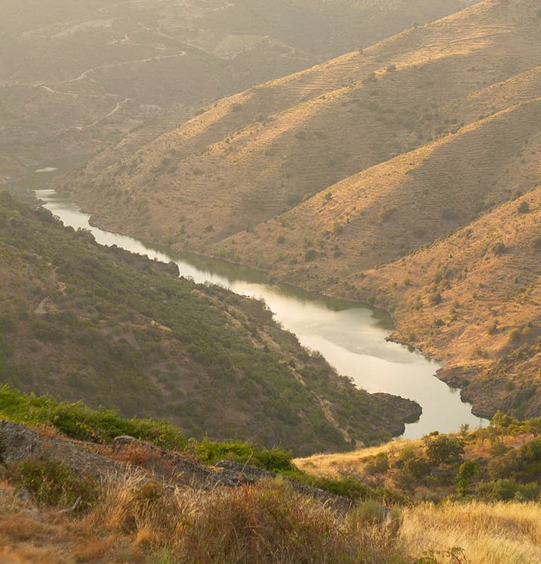
Arribes del Duero Natural Park
Arribes del Duero Natural Park is a protected area in western Spain, encompassing 1,061.05 km2 within the Castile and León region. It is renowned for its rich biodiversity and the dramatic landscapes carved by the Duero River, which forms the border with Portugal. The park's name, 'Arribes,' reflects these deeply eroded valleys and steep cliffs.

Caminito del Rey
The Caminito del Rey, meaning 'The King's Little Path,' is a walkway constructed in the early 20th century along the walls of a narrow gorge in Málaga, Spain. Originally built for workers of hydroelectric power plants, it became known for its dangerous sections, leading to its closure for over a decade before extensive renovations and its reopening in 2015. The walkway offers a dramatic experience through a landscape shaped by millions of years of geological processes.

Duratón River Gorges
The Duratón River Gorges Natural Park is a protected area in Spain, characterized by dramatic 100-meter-high cliffs carved by the Duratón River. This region holds historical significance, having been a hermitage for Saint Fructus in the 8th century, and it remains a vital habitat for a significant population of griffon vultures and other raptors.