
Wutach Gorge
River Canyon·Germany·Mesozoic·Wutach
The Wutach Gorge, also known as Wutachschlucht, is a dramatic river canyon in southern Germany, characterized by three distinct gorge sections carved by the Wutach River. Its actively continuing geological development has created a diverse array of landforms and ecosystems, making it a significant site for both natural history and conservation awareness in southwestern Germany.
Key Facts
- ›Stretches for over 33 river kilometers with depths ranging from 60 to 170 meters.
- ›Features a continuous sequence of rock outcrops from basement granite through Triassic to Jurassic strata.
- ›Notable for its geologically young, diverse, and actively developing landscape.
- ›Home to a rich variety of geotopes and biotopes supporting abundant flora and fauna.
- ›Considered one of the most diversified and interesting gorge landscapes in Central Europe.
- ›Part of the Southern Black Forest Nature Park and a popular tourist destination.
Wutachschlucht
River Erosion
WutachflüHen, Rechenfelsen, Rappenfelsen, Drei Zinnen, Boller Waterfall, Tannegg Waterfall, MüNzloch, Amselfels, GroßEr Kanzelfels, EngläNderfels, Forellenfelsen, Josefsfelsen, Canadian Bridge, Eschach Slip, Eichberg Landslide, WellblechsträßLe Landslide, Blumberg Gate, Schleifebach Falls, Walenhalde, Lunzistein, Mannheimer Felsen, Blumegg Castle Ruins, Gauchach Gorge, Bachheim Gorge Rectangle
Coniferous Forests, Deciduous Forests, Riparian Woodland, Meadows, Tufa Formations, Giant Horsetail Communities
About Wutach Gorge
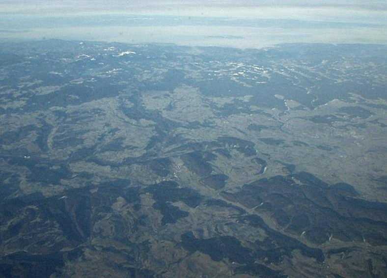
The Wutach Gorge, known in German as Wutachschlucht, is a significant natural landmark in southern Germany, characterized by its deep, narrow, and steep-sided valleys carved by the Wutach River and its tributaries. This gorge system is comprised of three main sections, with the lowest also referred to as the Wutachflühen. It cuts through the southern part of the Baar region, extending from the eastern High Black Forest towards the Swabian Jura and Randen mountains.
Geological Formation and Landscape
The Wutach Gorge is geologically young, with an actively continuing development that results in a remarkable diversity of landforms and ecosystems. Over a relatively short straight-line distance, the river has carved a natural profile through a wide range of South German Scarplands strata, from basement granite to Triassic and Jurassic rocks. This geological layering, steeply inclined by the uplift of the southern Black Forest, creates a continuously varied sequence of rock outcrops. The resulting landscape is one of Central Europe's most diversified and interesting gorge environments, featuring steep rock faces, wide valleys, tufa formations, and evidence of significant landslides.
Biodiversity and Conservation
The varied geotopes and biotopes within the Wutach Gorge support a rich array of flora and fauna. The gorge transitions from rocky, conifer-dominated upper sections to deciduous forests and riparian woodlands in its lower reaches. This ecological richness, combined with its dynamic geological processes, has made the Wutach Gorge a focal point for conservation efforts in southwestern Germany and a key component of the Southern Black Forest Nature Park.
Tourism and Accessibility
The Wutach Gorge is a highly popular destination for tourists, drawn by its dramatic scenery and opportunities for outdoor activities, particularly hiking. Trails like the Ludwig-Neumann-Weg offer visitors access to some of the gorge's most impressive features. The park's role in fostering conservation consciousness underscores its importance not only as a natural wonder but also as a site for environmental education and appreciation.
Source: Wikipedia ↗
Frequently Asked Questions
How was the Wutach Gorge formed?
The Wutach Gorge was primarily formed by the erosive power of the Wutach River and its tributaries cutting through the southern part of the Baar region. The geologically young and actively continuing development of the gorge is a result of this ongoing river erosion acting on the uplifted rock strata of the southern Black Forest.
What are the main geological features of the Wutach Gorge?
The gorge showcases a continuous sequence of rock outcrops from basement granite, Triassic, to Jurassic periods, due to the Wutach cutting through steeply inclined strata. It features diverse landforms like steep rock faces, collapsed gorges, tufa formations, and significant landslides, especially in the Keuper and Muschelkalk layers.
What activities are popular in the Wutach Gorge?
The Wutach Gorge is very popular with tourists, with activities likely including hiking along its many trails, such as the Ludwig-Neumann-Weg. The diverse natural landscape also makes it a prime location for nature observation and appreciating its unique geological and ecological features.
Is the Wutach Gorge a protected area?
Yes, the Wutach Gorge is part of the Southern Black Forest Nature Park. Its importance for conservation is highlighted by its role in establishing conservation consciousness in southwestern Germany and its rich variety of biotopes.
What is the geological significance of the Wutach Gorge?
The gorge is significant for its geologically young, prototypical, and actively continuing development, presenting a great variety of geotopes and biotopes. It offers a natural profile section through almost all of the strata of the South German Scarplands, making it a key site for understanding regional geology.
Related Canyons

Danube Gorge
The Danube Gorge, also known as the Weltenburg Narrows, is a significant geological feature in Bavaria, Germany, carved by the Danube River. This protected nature reserve showcases impressive limestone cliffs and unique rock formations, formed during the Upper Jurassic period.
Partnach Gorge
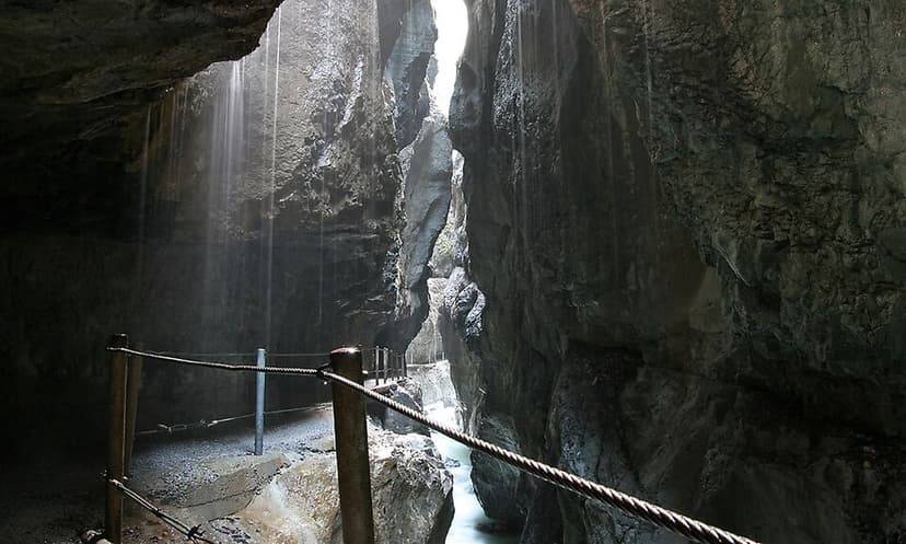
The Partnach Gorge is a deep gorge located near Garmisch-Partenkirchen in Bavaria, Germany. It was formed by the erosive power of the Partnach stream, which cut through layers of muschelkalk and softer marls over millions of years. Designated a natural monument in 1912, it has been developed for tourism and is accessible year-round.

Rhine Gorge
The Rhine Gorge, also known as the Upper Middle Rhine Valley, is a 65 km long section of the Middle Rhine River in Germany. It was designated a UNESCO World Heritage Site in 2002 due to its stunning cultural landscape, its historical significance as a European transport route, and the unique architectural adaptations to the steep valley slopes. The gorge was carved by the Rhine River during a recent geological uplift, revealing ancient Devonian sedimentary rocks, primarily slate, which are rich in fossils.