
Mount Toondina
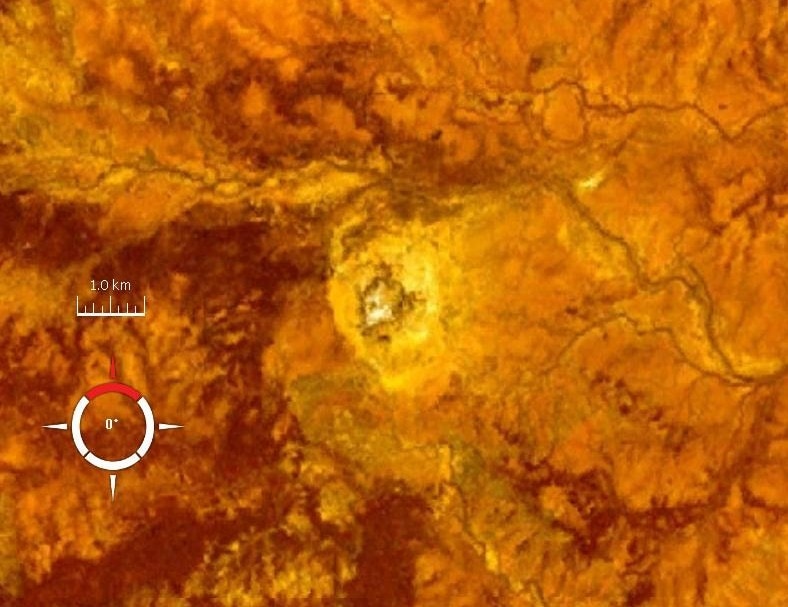
Mount Toondina is an eroded impact structure located in northern South Australia, characterized by a circular topographic feature rising from the desert landscape. Initially thought to be a salt dome, its impact origin was proposed in 1976 and subsequently supported by geophysical studies, revealing characteristics of a complex impact crater.
Key Facts
- ›Located in northern South Australia, approximately 24 km south of Oodnadatta.
- ›The original crater diameter is estimated to have been 3–4 km.
- ›Its age is younger than the Early Cretaceous rocks it is situated in, but not precisely dated.
- ›An impact origin was first suggested in 1976, replacing an earlier diapir hypothesis.
- ›Geophysical surveys indicate an internal structure typical of complex impact craters.
About Mount Toondina
Mount Toondina Impact Structure
Mount Toondina is a significant impact structure, also known as an astrobleme, located in northern South Australia. It represents the eroded remnant of a former impact crater situated in the locality of Allandale Station, approximately 24 kilometers south of the town of Oodnadatta. The structure is characterized by a circular topographic feature that rises above the otherwise flat desert landscape of the Eromanga Basin.
Origin and Characteristics
The origin of Mount Toondina was a subject of scientific debate, with an earlier hypothesis suggesting it was a diapir (salt dome). However, in 1976, an impact origin was first proposed, a theory that has been strongly supported by subsequent geological and geophysical studies. A gravity-based geophysical survey revealed an internal structure consistent with complex impact craters, including an uplifted central region. These studies suggest that the original crater had an estimated diameter of about 3 to 4 kilometers.
Age and Erosion
The precise age of the Mount Toondina impact event is not well-documented. It is known to be younger than the Early Cretaceous rocks that form its geological setting. Since the impact, the crater has undergone significant erosion, which has altered its original morphology and obscured many of its features over time.
Source: Wikipedia ↗
Frequently Asked Questions
What is Mount Toondina?
Mount Toondina is an impact structure, the eroded remnant of a former impact crater. It is a circular topographic feature rising out of a flat desert area in northern South Australia.
Where is Mount Toondina located?
Mount Toondina is situated in northern South Australia, within the locality of Allandale Station. It lies about 24 kilometers south of the town of Oodnadatta.
When was the impact origin of Mount Toondina suggested?
The impact origin of Mount Toondina was first suggested in 1976. This proposal challenged the earlier hypothesis that it was a diapir, or salt dome.
What is the estimated size of the original Mount Toondina crater?
Geophysical surveys suggest that the original crater at Mount Toondina was approximately 3 to 4 kilometers in diameter. The current structure is an eroded remnant.
How old is the Mount Toondina impact structure?
The impact structure is younger than the Early Cretaceous rocks in which it is located. However, a precise age has not been well established.
What type of impact crater is Mount Toondina considered to be?
Geophysical surveys indicate that Mount Toondina possesses an internal structure typical of complex impact craters, including an uplifted center.
Related Impact Craters
BP
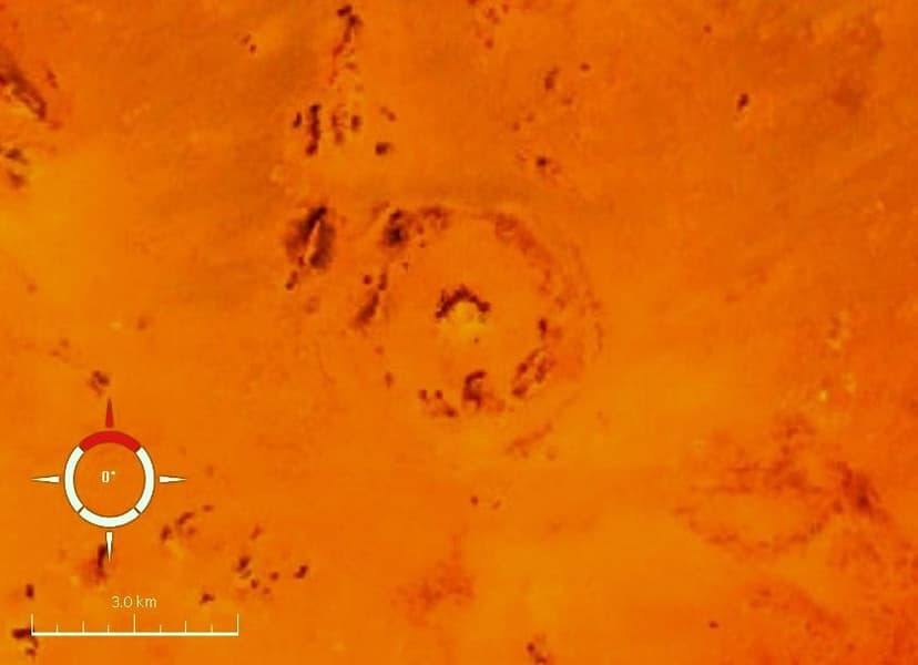
The BP Impact Structure, also known as Gebel Dalma, is a deeply eroded impact crater in southwestern Libya. It is characterized by three discontinuous concentric ridges formed from deformed sedimentary rocks, with an estimated diameter of 3.2–3.4 km. The structure's impact origin has been confirmed through the analysis of shock metamorphism in quartz grains found at the site.
Mien
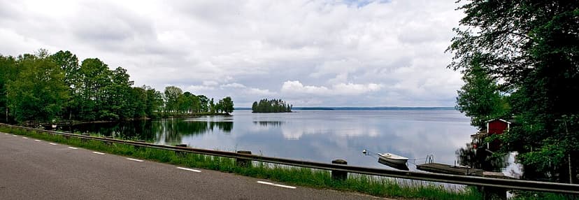
Mien is a lake in southern Sweden situated within a meteorite crater. The eroded crater is characterized by a circular lake, Lake Mien, with a diameter of 5.5 km. Its formation is attributed to an impact event estimated to have occurred in the Early Cretaceous period, approximately 121 million years ago.
Mjølnir
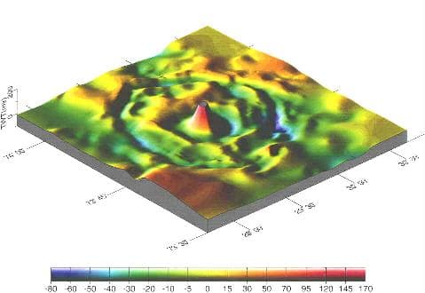
Mjølnir is a significant impact crater located on the floor of the Barents Sea, off the coast of Norway. Estimated to be 40 kilometers in diameter, the impact event occurred approximately 142 million years ago during the Early Cretaceous period. The crater's name is derived from Thor's mythological hammer, reflecting the immense power of the celestial body that struck Earth.