
Söderfjärden
Finland·Cambrian·Proterozoic
Söderfjärden is a polder in western Finland, recognized as an impact crater that formed over 640 million years ago. Despite its significant size and the buried central uplift, the crater is primarily visible today as a large, hexagonal cultivated field due to its filling with Cambrian sandstones. This unique surface visibility distinguishes it from other Finnish impact structures.
Key Facts
- ›Impact crater dating back over 640 million years.
- ›Diameter of 6.6 kilometers.
- ›Maximum depth of 300 meters.
- ›Filled with Cambrian sandstones, leaving only the outer rim visible.
- ›Clearly visible from the air as a large hexagonal field.
- ›Located 10 kilometers south of Vaasa, Finland.

About Söderfjärden
Söderfjärden Impact Crater
Söderfjärden is a notable impact structure located in Ostrobothnia, western Finland, approximately 10 kilometers south of the city of Vaasa. This ancient crater, dating back over 640 million years to the Proterozoic Eon (near the end of the Cryogenian period), possesses a significant diameter of 6.6 kilometers and a maximum original depth of 300 meters. The geological history of Söderfjärden is marked by the deposition of Cambrian sandstones that have since filled the crater, obscuring most of its original form. Consequently, only the outer rim of the impact structure remains clearly visible today.
Geological Context and Visibility
Following its formation, post-glacial rebound caused the land to rise from the sea, transforming the basin into a wetland. This wetland was later drained with the assistance of a pump station. Currently, Söderfjärden is a cultivated area, and its unique geological history and subsequent land use have resulted in a distinct visual characteristic: it is clearly visible from the air as a large, roughly hexagonal field. This prominent surface visibility makes Söderfjärden stand out among other impact structures in Finland, many of which are situated below sea level and are therefore less apparent.
The area of the Söderfjärden basin is administratively divided among three municipalities: Vaasa, Korsholm, and Malax, with a small portion belonging to Malax. While the central uplift of the crater is buried, the remaining visible features and its distinct surface appearance continue to make Söderfjärden a site of geological interest.
Source: Wikipedia ↗
Frequently Asked Questions
What is Söderfjärden?
Söderfjärden is a polder in Ostrobothnia, western Finland, that is recognized as an impact crater. It is located 10 kilometers south of the town of Vaasa.
How old is the Söderfjärden impact crater?
The impact crater at Söderfjärden dates back to more than 640 million years ago. This places its formation in the Proterozoic Eon, near the end of the Cryogenian period.
What are the dimensions of the Söderfjärden crater?
The crater has a diameter of 6.6 kilometers and a maximum depth of 300 meters. A central uplift exists within the crater, but it is buried beneath later deposits.
Why is Söderfjärden visible as a hexagonal field?
The impact crater is filled with Cambrian sandstones, which has left only the outer rim visible. After rising from the sea due to post-glacial rebound, the area was drained and is now cultivated, appearing as a large hexagonal field from the air.
Where is Söderfjärden located geographically?
Söderfjärden is situated in Ostrobothnia, western Finland. The basin area is divided between the municipalities of Vaasa, Korsholm, and Malax.
Related Impact Craters
Iso-Naakkima
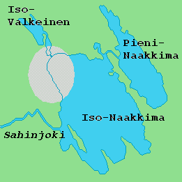
Iso-Naakkima is a lake in Southern Savonia, Finland, notable for concealing an eroded impact crater beneath its northwestern section. It is recognized as one of the oldest known impact structures on Earth, estimated at 1200 million years old, and is also among the smallest confirmed craters of its age, measuring approximately 3 km in diameter.
Keurusselkä
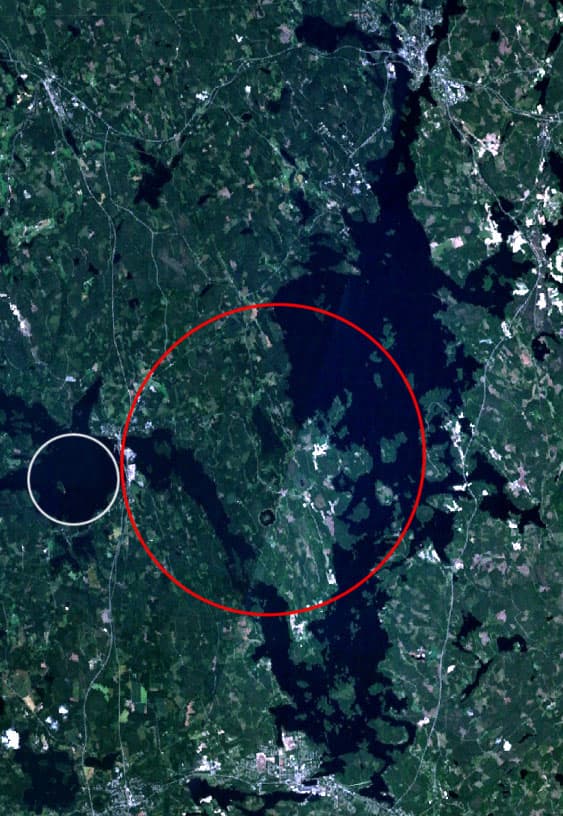
The Keurusselkä impact structure is a remnant of an ancient crater discovered in 2003 on the western shore of Lake Keurusselkä in Central Finland. Identified through shatter cones and shock metamorphic features in quartz, it is one of the oldest known impact structures in Europe, dating back approximately 1.14 to 1.15 billion years. Despite significant erosion, evidence suggests potential ring structures and a negative gravity anomaly, making it a subject of ongoing geological investigation.

Paasselkä
Paasselkä is an eroded impact crater located in Southern Savonia, Finland, forming an oval-shaped lake. The impact event occurred approximately 1800 million years ago, affecting ancient crystalline rocks and sandstones. Its unusual shape and associated magnetic anomalies led to its suspicion as an impact origin, later confirmed by deep drilling, making it the ninth known impact crater in Finland.