
Blue Hole (Castalia)
The Blue Hole in Castalia, Ohio, is a natural cenote renowned for its striking blue hue, clarity, and perceived bottomless depth, which historically drew significant tourism. Fed by an underground stream, its anoxic waters and unique geological formation on limestone bedrock make it a notable example of karst topography, though it is no longer publicly accessible.
Key Facts
- ›The Blue Hole is a freshwater pond and cenote located in Castalia, Ohio.
- ›It was a popular tourist attraction from the 1920s to the 1990s, attracting up to 165,000 visitors annually.
- ›The sinkhole is approximately 75 feet (23 M) in diameter and 43 to 45 feet (13.1 to 13.7 M) deep.
- ›Its water is consistently around 48 °F (9 °C) year-round, unaffected by floods or droughts.
- ›The anoxic water cannot naturally sustain fish.
- ›It is fed by an underground stream discharging 7 million us gallons of water daily.

Vibrant Blue Hue, Water Clarity, Enigmatic 'Bottomless' Appearance, Karst Topography
Lime, Soda, Magnesia, Iron, Anoxic Freshwater
About Blue Hole (Castalia)
The Blue Hole of Castalia
The Blue Hole, situated in Castalia, Ohio, is a notable natural sinkhole, classified as a cenote, distinguished by its striking azure color, exceptional water clarity, and an appearance that historically captivated visitors with its perceived, though scientifically disproven, "bottomless" depth.
Historical Significance and Tourism
From the 1920s through the 1990s, the Blue Hole was a significant tourist destination, drawing an impressive annual attendance of up to 165,000 visitors at its peak. Its popularity was bolstered by its convenient location along State Route 269, a route that also provided proximity to the Cedar Point amusement park in Sandusky, Ohio.
Geological Characteristics
The sinkhole measures approximately 75 feet (23 meters) in diameter and possesses a known depth ranging from 43 to 45 feet (13.1 to 13.7 meters). It is fed by an underground stream that contributes an estimated 7 million US gallons of water daily, which then flows into Sandusky Bay and ultimately Lake Erie. The water is characterized by consistent temperatures of around 48 °F (9 °C) year-round, remaining unaffected by fluctuations in weather conditions such as floods or droughts. The water itself contains dissolved minerals including lime, soda, magnesia, and iron. Critically, the Blue Hole is anoxic, meaning it lacks sufficient dissolved oxygen to naturally sustain aquatic life, hence its inability to support fish populations.
The surrounding landscape is developed on limestone bedrock, exhibiting classic karst topography. This geological formation occurs due to the gradual dissolution of limestone by groundwater, a process that creates these distinct water-filled depressions.
Current Status
While historically a public attraction, the Blue Hole is now off-limits to the general public. It is presently located on the private grounds of the Castalia Trout Club.
It is important to distinguish this Blue Hole from another similar cenote nearby, which is owned and operated by the Ohio Department of Natural Resources, Division of Wildlife, and remains open for public viewing. This latter site has seen increasing popularity following the closure of the original Blue Hole to the public in the late 1990s.
Source: Wikipedia ↗
Frequently Asked Questions
Where is the Blue Hole located?
The Blue Hole is located in Castalia, Ohio. It is situated on State Route 269, approximately 7 miles southwest of the Cedar Point amusement park in Sandusky, Ohio.
Why was the Blue Hole so popular?
The Blue Hole attracted significant public interest due to its remarkable size, exceptional water clarity, vibrant blue color, and the mysterious appearance of being bottomless. Its accessibility via a major state route also contributed to its popularity as a tourist destination.
How deep is the Blue Hole?
Contrary to popular belief at the time, the depth of the Blue Hole is known. It measures between 43 and 45 feet (13.1 to 13.7 meters) deep.
What is the water like in the Blue Hole?
The water in the Blue Hole remains a constant temperature of about 48 °F (9 °C) throughout the year. The water contains lime, soda, magnesia, and iron, and is anoxic, meaning it lacks dissolved oxygen and cannot naturally support fish life.
Is the Blue Hole still open to the public?
No, the Blue Hole is currently off limits to the public. It is located on the grounds of the privately owned Castalia Trout Club.
What geological formation is the Blue Hole?
The Blue Hole is a cenote, which is a water-filled sinkhole. Its formation is a result of the dissolution of limestone bedrock by groundwater, characteristic of karst topography.
Related Sinkholes
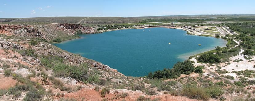
Bottomless Lakes State Park
Bottomless Lakes State Park in New Mexico is the state's first state park, established in 1933. It features nine small, deep lakes formed by sinkholes or cenotes, created by groundwater dissolving gypsum-rich rock. These lakes are geologically significant for their formation process and are home to several endangered species.
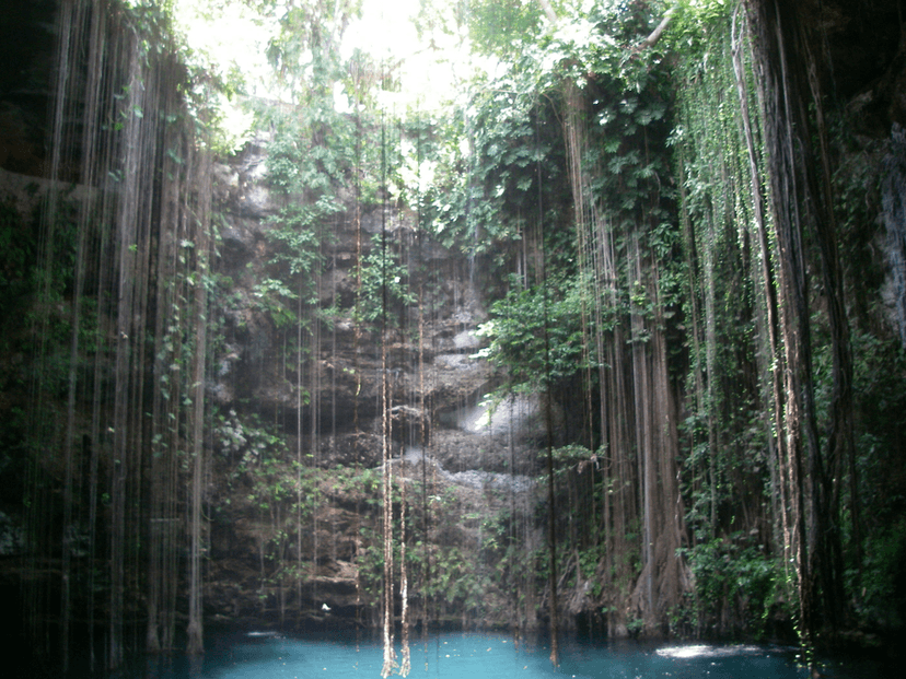
Ik Kil
Ik Kil is a large, open-air cenote located near the ancient Maya ruins of Chichen Itza in Yucatán, Mexico. It is renowned for its natural beauty, significant historical use by the Maya for ritualistic sacrifices, and its popularity as a tourist destination and swimming site.

Big Basin Prairie Preserve
The Big Basin Prairie Preserve in Kansas encompasses a significant sinkhole system, most notably the mile-wide Big Basin and the water-filled St. Jacob's Well. These geological features, formed by sinkhole activity, are historically notable as resting places for the Northern Cheyenne and landmarks for cattle drives. The preserve is a designated National Natural Landmark, managed to protect its unique landscape and wildlife.