
Gurio Lamanna
Gurio Lamanna is a large doline, often referred to as a "karst basin," located in the Murge plateau of southern Italy, near Gravina in Puglia and Altamura. Its significant size, shallow depth, and flat, fertile bottom distinguish it from typical dolines, making it a notable example of karst landforms in the region. Despite its size, it was largely unknown to scientists until the early 20th century.
Key Facts
- ›External perimeter exceeds 3 kilometers (1.9 MI).
- ›Average length is approximately 900 meters (3,000 ft).
- ›Maximum depth reaches 38 meters (125 ft).
- ›Covers an area of 68,000 square meters (730,000 sq ft).
- ›Features a flat, table-like bottom unusual for the Murge region.
- ›Contains a sinkhole for rainwater drainage and has a deep layer of fertile soil.
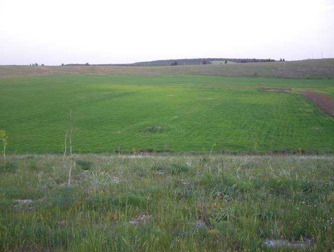
Gurio, Karst basin
Coat of Arms Shape, Flat, Fertile Bottom, Karst Basin Classification
Freshwater
About Gurio Lamanna
Gurio Lamanna is a significant karst landform, commonly identified as a doline or, more specifically, a "karst basin," located within the Murge plateau in southern Italy. Situated on the border between Gravina in Puglia and Altamura in the Apulia region, this geological feature is distinguished by its considerable size, unusual flatness at the bottom, and fertile soil, which supports cultivation. Its unique characteristics have led geomorphologists to classify it as a prime example of karst basins in the Murge area.
Characteristics and Formation
The doline boasts an external perimeter of over 3 kilometers and an average length of approximately 900 meters, with a maximum depth of 38 meters. It covers an expansive area of 68,000 square meters. Unlike many dolines with steep walls, Gurio Lamanna's sides have a low steepness. The most striking feature is its flat, table-like bottom, a rarity in the arid Murge landscape, formed by a deep layer of fertile soil resulting from millennia of erosion. This fertile ground is successfully cultivated, distinguishing it from the stony, difficult terrain typical of the region. Rainwater collected within its drainage basin flows out partly through a sinkhole and partly through the porous limestone walls, being absorbed relatively quickly. Water tends to stagnate longer in the central, lowest area, where an open tank now collects rainwater.
Historical Recognition
Gurio Lamanna remained largely unknown to scientists and scholars until Carmelo Colamonico published the first comprehensive study in 1917. Before this, it had only been briefly mentioned by F. Virgilio in 1900 as "Gurio." Colamonico's research not only detailed the doline's characteristics but also established its correct name, "Gurio Lamanna," derived from a nearby Masseria. He identified "gurio" as a regional term for a large, flat sinkhole that collects substantial rainwater, reinforcing the classification of this landform as a "karst basin."
Geological Significance
The formation of Gurio Lamanna is attributed to karst processes, where rainwater has continuously eroded the limestone over time. While tectonic phenomena might have initially influenced its orientation, the extensive dimensions were primarily achieved through the erosive action of rainwater from a large drainage basin, fed by two "lamas" (valleys) located to the northwest and northeast. The erosion has predominantly occurred in a northerly direction between these two lamas. The doline's unique flat, fertile bottom and its classification as a "karst basin" make it a noteworthy subject for geological study in the Murge plateau.
Source: Wikipedia ↗
Frequently Asked Questions
What is Gurio Lamanna?
Gurio Lamanna is a large doline, a type of karst landform, located on the Murge plateau in southern Italy. It is also referred to as a "karst basin" due to its size and shallow depth.
Where is Gurio Lamanna located?
Gurio Lamanna is situated in the Murge plateau, within the territory of Gravina in Puglia, on the border with Altamura, in the Apulia region of southern Italy.
What are the dimensions of Gurio Lamanna?
Gurio Lamanna has an external perimeter of over 3 kilometers, an average length of about 900 meters, and a maximum depth of 38 meters. It covers an area of 68,000 square meters.
Why is Gurio Lamanna considered a "karst basin" and not just a doline?
The designation as a "karst basin" comes from geomorphologists like Carmelo Colamonico, who observed that its large size and shallow depth made it distinct from a typical doline. This classification highlights its unique characteristics within the Murge plateau.
What is unique about the bottom of Gurio Lamanna?
The bottom of Gurio Lamanna is remarkably flat, described as being "like a table." This flat expanse is uncommon in the otherwise barren and hilly landscape of the Murge region and is due to a deep layer of fertile soil accumulated over time.
How was Gurio Lamanna formed?
Gurio Lamanna was formed through karst processes, primarily the slow and constant erosion by rainwater. This erosion, a combination of chemical and mechanical actions, created the wide, flat area and contributed to the fertile soil found at its bottom.
When was Gurio Lamanna first studied by scientists?
Gurio Lamanna was practically unknown to scientists until the first study was published by Carmelo Colamonico in 1917. It had been briefly cited by F. Virgilio in 1900, who referred to it simply as "Gurio."
Related Sinkholes
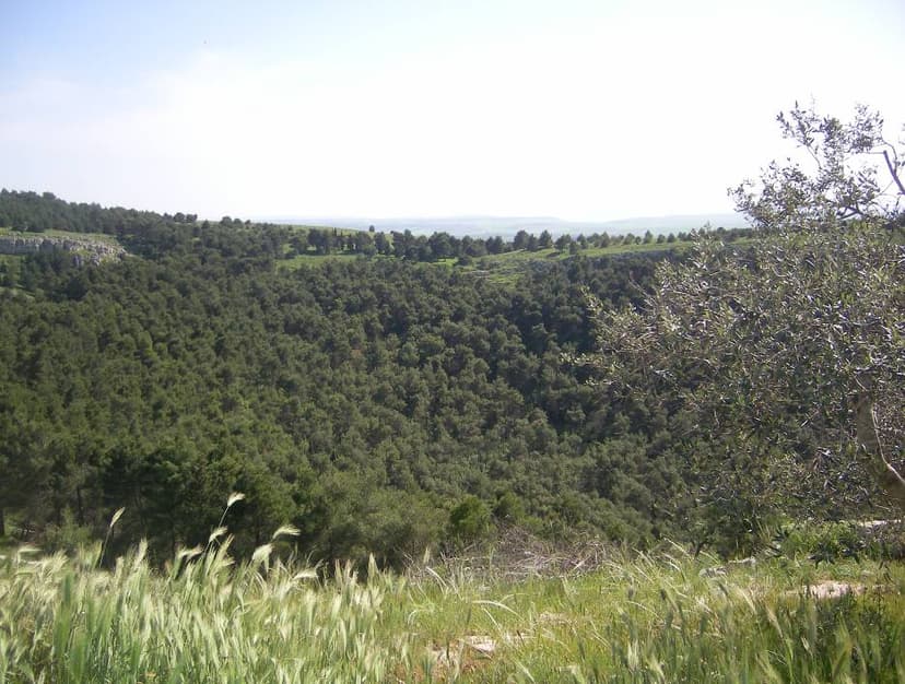
Pulicchio di Gravina
Pulicchio di Gravina is the second-largest doline on the Murge plateau in Apulia, southern Italy, distinguished by its regular, egg-like shape and significant depth. Its formation is primarily attributed to karst processes, specifically the erosive and chemical actions of rainwater on the region's fractured limestone, though debate exists regarding the exact balance between superficial erosion and potential subsurface collapse.
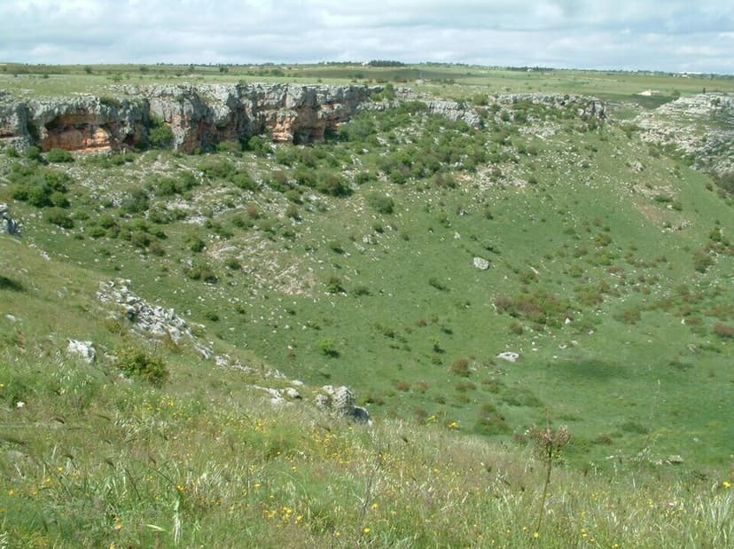
Pulo di Altamura
Pulo di Altamura is a significant doline, or sinkhole, located on the Murge plateau in Apulia, Italy. As the largest doline in the region, it plays a crucial role in the karst landscape, formed by the erosive action of rainwater on the fractured limestone. Its immense size and the unique microclimate within its walls support diverse flora and fauna, making it a site of scientific and ecological interest.

Pulo di Molfetta
Pulo di Molfetta is a significant doline situated on the Murge plateau in southern Italy. Its formation is attributed to the collapse of subterranean caves, a process common to other large dolines in the Apulia region, which share the local toponym 'pulo'.