
Cloudland Canyon
River Canyon·North America·Sitton Gulch Creek·Sandstone
Cloudland Canyon State Park is a large and scenic protected area in Georgia, renowned for its rugged topography and deep gorge carved by Sitton Gulch Creek. The canyon showcases dramatic geological formations, including sandstone and shale layers, with waterfalls cascading to the gorge floor. Originally known by names like Sitton Gulch, the park was established in 1939 and has since expanded, offering visitors extensive hiking and recreational opportunities.
Key Facts
- ›The park encompasses 3,485 acres (14.10 km2) and is situated on the western edge of Lookout Mountain.
- ›The canyon is a deep gorge cut by Sitton Gulch Creek, with elevations ranging from 800 to over 1,800 feet.
- ›Two waterfalls, Cherokee Falls and Hemlock Falls, cascade down sandstone and shale layers at the bottom of the gorge.
- ›The geology is characterized by sandstone formations above shale layers, with the area uplifted during the Appalachian orogeny.
- ›The park features multiple hiking trails, including the strenuous Waterfalls Trail and the longer West Rim Loop Trail.
- ›Facilities include various camping options, cabins, picnic areas, and an interpretive center.

Sitton Gulch, Sitton Gulf, Trenton Gulf
River Erosion, Tectonic Activity
Two Waterfalls, Sandstone Bluffs, Shale Layers, Rock Talus, Fossil-Bearing Limestone
Pine Trees, Hemlock Groves, Rhododendron Thickets, Mountain Laurel Thickets, Sour Gum, Dogwood, Oaks, Hickories, Maples
About Cloudland Canyon
What is Cloudland Canyon?
Cloudland Canyon State Park is a significant natural landmark located in Georgia, renowned for its dramatic geological features and expansive vistas. Situated on the western edge of Lookout Mountain near Trenton, the park protects a deep gorge carved by Sitton Gulch Creek, showcasing rugged terrain and a rich array of plant life. It is recognized as one of Georgia's largest and most scenic state parks.
Geological Formation and Features
The canyon's formation is a testament to millions of years of geological processes. Lookout Mountain, where the park is located, was uplifted during the Appalachian orogeny. Subsequently, the waters of Daniel Creek and Bear Creek converged to form Sitton Gulch Creek, which then eroded through the mountain's sedimentary layers. The canyon walls are predominantly composed of sandstone, with underlying shale layers. At the gorge's bottom, two waterfalls, Cherokee Falls and Hemlock Falls, cascade down sandstone and shale cliffs into small pools, fed by Daniel Creek. The canyon's depth ranges from 800 to over 1,800 feet, with the park's peak elevation reaching 1,980 feet. The valley floor is characterized by rock talus and fossil-bearing limestone.
Human History and Park Development
Previously known by names such as Sitton Gulch, Sitton Gulf, or Trenton Gulf, the area began its transformation into a state park in 1938 when Georgia started acquiring land. The Civilian Conservation Corps (CCC) was instrumental in developing the park's initial infrastructure and amenities during the Great Depression, with the park officially opening in 1939. Highway 136 was constructed around the same time to improve access to the park. Over the years, the park has expanded from its original 1,924 acres to its current size of 3,485 acres.
Recreational Opportunities
Cloudland Canyon State Park offers a comprehensive range of outdoor activities for visitors. The park features well-maintained hiking trails catering to various skill levels, from an accessible paved rim trail to more challenging routes that descend into the canyon. The Waterfalls Trail, with its significant staircase, leads to Cherokee Falls and Hemlock Falls. The West Rim Loop Trail provides panoramic views, while the Backcountry Loop Trail accesses primitive camping sites. The park also provides diverse lodging options, including rental cottages, a group lodge, and numerous camping sites for tents, RVs, and backpackers. Additional facilities include picnic areas, tennis courts, a playground, and an interpretive center.
Source: Wikipedia ↗
Frequently Asked Questions
How was Cloudland Canyon formed?
Cloudland Canyon was primarily formed by the erosive power of Sitton Gulch Creek and its tributaries, Daniel Creek and Bear Creek. These waterways cut through the sandstone and shale layers of Lookout Mountain over millions of years, carving the deep gorge.
What are the main geological features of Cloudland Canyon?
The canyon's geology is dominated by sandstone bluffs that fracture into blocky formations, situated above layers of shale. At the bottom of the gorge, rock talus composed of sandstone and shale fragments is present. The area also features fossil-bearing limestone.
What activities can visitors enjoy at Cloudland Canyon State Park?
Visitors can enjoy a variety of activities, including hiking on numerous trails that offer views of the canyon and waterfalls. The park also provides camping (tent, RV, walk-in, and backcountry), cabin rentals, picnicking, and recreational facilities like tennis courts and a disc golf course.
What are the notable waterfalls in Cloudland Canyon?
Two prominent waterfalls are located at the bottom of the gorge: Cherokee Falls, which is 60 feet high, and Hemlock Falls, which is 90 feet high. Both are fed by Daniel Creek and cascade into small pools.
How deep is Cloudland Canyon?
Cloudland Canyon is more than 1,000 feet (300 m) deep. The elevation within the park varies significantly, ranging from 800 feet (240 m) at the gorge floor to over 1,800 feet (550 m) along the rim.
What is the best way to access the bottom of Cloudland Canyon?
The Waterfalls Trail provides access to the bottom of the canyon. This trail starts with a paved section and a 600-step staircase, descending along a steep slope into the gorge where the waterfalls are located.
Related Canyons
Blackhand Gorge
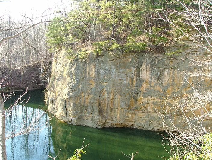
Blackhand Gorge is a 4-mile-long sandstone formation in Licking County, Ohio, carved by the Licking River. Named for a prehistoric petroglyph of a black hand, the gorge has served as a vital transportation corridor for centuries, hosting canal boats, railroads, interurban cars, and automobiles. Designated an Ohio Nature Preserve in 1975, it preserves a unique geological and historical landscape.
Breaks Canyon
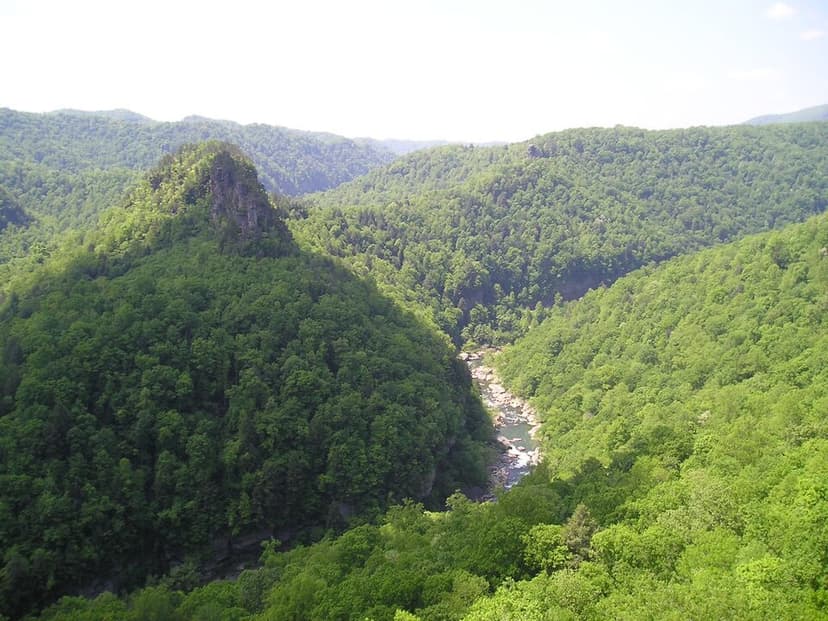
Breaks Canyon, often referred to as "the Breaks" and sometimes called the "Grand Canyon of the South," is a significant gorge carved by the Russell Fork River in southeastern Kentucky and southwestern Virginia. This natural wonder, formed over millions of years of erosion, is a prominent feature within Breaks Interstate Park, a unique bi-state park managed jointly by Virginia and Kentucky.

Canyon de Chelly
Canyon de Chelly National Monument, located in northeastern Arizona, preserves one of North America's longest continuously inhabited landscapes. Established in 1931, it protects the canyons and ruins of indigenous tribes, from the Ancestral Puebloans to the Navajo. The monument is unique as it is entirely owned and cooperatively managed by the Navajo Nation, with approximately 40 Navajo families residing within its boundaries.