
Kanuti Canyon
River Canyon·North America·Koyukuk River
The Kanuti River, also known as Kkʼoonootnoʼ in the Koyukon language, is a 175-mile tributary of the Koyukuk River in Alaska. Originating near the Arctic Circle, it flows west, notably passing under the Dalton Highway, before entering a significant canyon. This canyon, approximately 1,200 feet deep, is a prominent feature before the river merges with the Koyukuk near Allakaket. A substantial portion of the Kanuti River basin is encompassed by the Kanuti National Wildlife Refuge.
Key Facts
- ›The Kanuti River is 175 miles (282 km) long.
- ›It flows through a canyon that is approximately 1,200 feet (370 M) deep.
- ›The river begins its journey near the Arctic Circle.
- ›It is a tributary of the Koyukuk River.
- ›The Kanuti National Wildlife Refuge includes a significant part of the river's basin.

Kkʼoonootnoʼ
River Erosion
1,200-Foot Deep Canyon
KkʼOonootnoʼ
About Kanuti Canyon
Kanuti River and Canyon
The Kanuti River, known in the Koyukon language as Kkʼoonootnoʼ, is a significant waterway in the U.S. state of Alaska. This river spans approximately 175 miles (282 km) and serves as a tributary to the larger Koyukuk River. Its course begins near the Arctic Circle, from which it flows in a generally westward direction. A notable section of its journey takes it under the Dalton Highway, in the vicinity of Caribou Mountain.
Geological Features
A prominent geological feature of the Kanuti River's course is a canyon it carves. This canyon reaches a depth of approximately 1,200 feet (370 meters). The river flows through this impressive gorge before ultimately merging with the Koyukuk River near the settlement of Allakaket. The formation of this canyon is primarily attributed to the continuous erosive power of the river over extended geological periods.
Conservation and Ecology
The basin of the Kanuti River is largely encompassed by the Kanuti National Wildlife Refuge. This designation highlights the ecological importance of the river and its surrounding environment, suggesting it is a vital habitat for various species. While specific details about the canyon's wildlife and vegetation are not extensively documented, the presence of a National Wildlife Refuge indicates a commitment to preserving the natural state of the area.
Source: Wikipedia ↗
Frequently Asked Questions
Where is the Kanuti River located?
The Kanuti River is located in the U.S. state of Alaska. It originates near the Arctic Circle and flows generally west before meeting the Koyukuk River near Allakaket.
What is the approximate depth of the Kanuti Canyon?
The canyon through which the Kanuti River flows is approximately 1,200 feet (370 meters) deep. This significant geological feature marks a later stage of its course.
What is the Kanuti River's significance in terms of wildlife?
A large part of the Kanuti River basin is protected as the Kanuti National Wildlife Refuge. This suggests the river and its surrounding area are important habitats for wildlife.
What is another name for the Kanuti River?
In the Koyukon language, the Kanuti River is known as Kkʼoonootnoʼ. This indigenous name highlights its historical and cultural connection to the region.
Related Canyons

Bad Rock Canyon
Bad Rock Canyon is a river canyon located east of Columbia Falls, Montana, through which the Flathead River flows. Historically, it served as a significant buffalo trail for various indigenous tribes and later became a gateway to wilderness areas like the Bob Marshall Wilderness and Glacier National Park. The canyon is also known for frequent rock slides that impact the adjacent BNSF Railway tracks.

Big Bend National Park
Big Bend National Park is a vast protected area in West Texas, notable for its extensive Chihuahuan Desert topography and ecology. Formed by the erosive power of the Rio Grande and significant geological uplift, the park preserves a rich tapestry of life, including over 1,200 plant species and hundreds of animal species, as well as ancient fossils and diverse rock formations. Its remote location and dramatic landscapes, including the Chisos Mountains and deep river canyons, make it a significant destination for naturalists and adventurers.
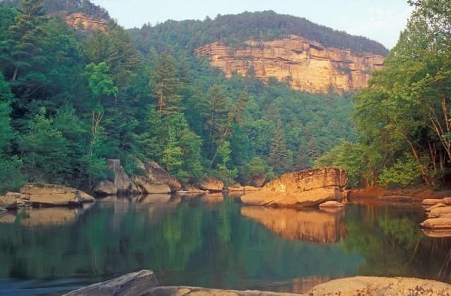
Big South Fork of the Cumberland River
The Big South Fork of the Cumberland River is a significant river system in Tennessee and Kentucky, carved into the Cumberland Plateau. This 76-mile waterway is characterized by rugged terrain with deep gorges, natural arches, and rock shelters, and is the central feature of the Big South Fork National River and Recreation Area. Its formation by river erosion has created a diverse ecosystem and a popular destination for outdoor recreation.