
Kourtaliotiko Gorge
River Canyon·Greece·Kourtaliotiko River
Kourtaliotiko Gorge, also known as Asomatos Gorge, is a significant natural feature on the southern side of western Crete, Greece. Carved by the Kourtaliotiko River flowing between the Kouroupa and Xiron mountains, it is renowned for its unique wind-generated "claps" and leads to the famous Preveli beach. The gorge serves as a vital habitat for wildlife, including the Lammergeier vulture, and is a popular destination for hikers.
Key Facts
- ›Located on the island of Crete, Greece, between the Kouroupa and Xiron mountains.
- ›Formed by the erosive action of the Kourtaliotiko River.
- ›Features a 40-meter-high waterfall and is a roosting site for Lammergeier vultures.
- ›Known for the unique "kourtala" or "claps" caused by wind funnelling through caves.
- ›Connects the village of Koxare to Asomatos via a road and leads to the sandy beach of Preveli.
- ›Accessible to experienced hikers via a river path, taking approximately 2.5 hours to reach Preveli beach.
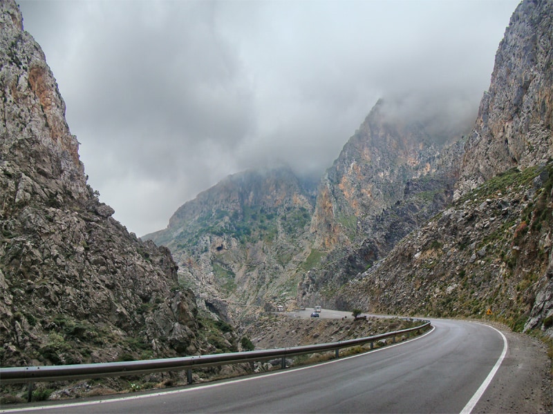
Asomatos Gorge
River Erosion
40-Metre-High Waterfall, "Kourtala", Native Palm Trees Near Preveli Beach, Roosting Site For Lammergeier Vulture
Lammergeier Vulture
Native Palm Trees
About Kourtaliotiko Gorge
The Kourtaliotiko Gorge, also identified as Asomatos Gorge, is a striking natural chasm located on the southern flank of western Crete, Greece. This impressive gorge is carved by the Kourtaliotiko River as it journeys south between the imposing peaks of Mount Kouroupa and Mount Xiron. A paved road traverses the gorge, linking the village of Koxare at its northern end to Asomatos, and then continuing west towards the coastal town of Plakias. The gorge is notable for a 40-meter high waterfall and a unique acoustic phenomenon known as "kourtala," or "claps," which occur near the northern entrance. These sounds are generated by the wind being funneled through the gorge's high caves, creating a distinct auditory experience that gives the gorge its name.
Beyond its geological and acoustic marvels, Kourtaliotiko Gorge is an important ecological habitat. The sheer cliffs serve as a vital roosting area for the majestic Lammergeier vulture, a protected bird of prey. The gorge's path eventually leads to the renowned sandy beach of Preveli, which is characterized by its clusters of native palm trees. For visitors, the gorge offers hiking opportunities, with an experienced hiker able to follow a path across the river to reach Preveli beach in approximately two and a half hours. An alternative, more accessible path runs parallel to the river, providing a quicker route to the coast.
Source: Wikipedia ↗
Frequently Asked Questions
What causes the distinctive "claps" in Kourtaliotiko Gorge?
The unique "claps" or "kourtala" are a result of strong winds being funneled through the high caves within the gorge. When the wind reaches a certain velocity, it creates a sound akin to clapping hands, giving the gorge its name.
What is the best way to reach Preveli beach from Kourtaliotiko Gorge?
Experienced hikers can follow a path across the river to reach Preveli beach, a journey that takes about two and a half hours at an average pace. An alternative, easier, and faster path runs parallel to the river.
What wildlife can be found in Kourtaliotiko Gorge?
The cliffs within the gorge provide a crucial roosting site for the Lammergeier vulture. The area is also home to native palm trees found near the beach at its southern end.
Where is Kourtaliotiko Gorge located?
Kourtaliotiko Gorge is situated on the southern side of the western part of the island of Crete, Greece. It lies between the mountains of Kouroupa and Xiron, with the Kourtaliotiko River flowing through it.
What are the notable geological or natural features of Kourtaliotiko Gorge?
The gorge features a 40-meter-high waterfall and the distinctive "kourtala" sound phenomenon. It is also known for its native palm trees near the Preveli beach at its southern exit.
Related Canyons

Agia Eirini Gorge
Agia Eirini Gorge is a scenic canyon located in southwestern Crete, Greece, renowned for its natural beauty and historical significance. Stretching 7.5 kilometers from the village of Agia Eirini to the coastal village of Sougia, it features steep mountain cliffs and forested areas. The gorge played a role in history, notably as an escape route for civilians during Ottoman rule.

Richtis Gorge
Richtis Gorge is a state-protected park in eastern Crete, Greece, known for its diverse hiking experience. The gorge, formed by natural erosion, stretches approximately 4 km from the village of Exo Mouliana to Richtis beach, featuring rich vegetation, historical stone bridges, water mills, and culminating in the Richtis Waterfall.
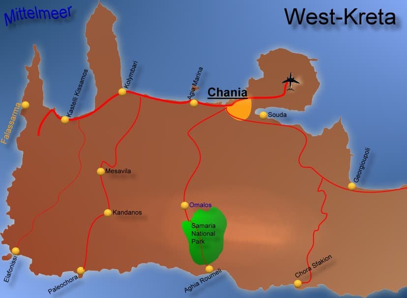
Samaria Gorge
The Samariá Gorge is a National Park in southwest Crete, Greece, renowned as a major tourist attraction and a World's Biosphere Reserve. Carved by a small river between the White Mountains and Mt. Volakias, it stretches 16 km from an altitude of 1,250 m to the Libyan Sea. The gorge is significant as a refuge for the rare kri-kri (Cretan goat) and other endemic species.