
Manawatū Gorge
River Canyon·New Zealand·Manawatū River
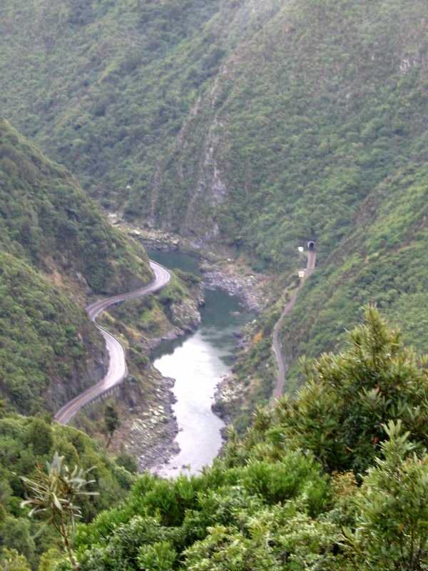
The Manawatū Gorge, known in Māori as Te Āpiti, is a significant 6 km long river gorge in the North Island of New Zealand. It was formed by the Manawatū River cutting through the Ruahine and Tararua Ranges, creating a vital transport link between the Manawatū and Tararua Districts. The gorge is notable for its geological formation, where ranges uplifted concurrently with river erosion, and is a popular area for recreation and scenic exploration.
Key Facts
- ›The gorge is approximately 6 km (3.7 MI) long.
- ›It divides the Ruahine and Tararua Ranges.
- ›The Manawatū River flows through the gorge, forming a water gap.
- ›It was an important transport link, hosting State Highway 3 until 2017 and the Palmerston North–Gisborne Line railway.
- ›The Manawatū Gorge Track is a 10 km tramping track on the south side.
- ›A 6-meter tall metal sculpture of Māori explorer Whātonga is located along the track.
Te Āpiti, Te Au-rere-a-te-tonga
River Erosion, Tectonic Uplift
Water Gap Formation, Manawatū Gorge Scenic Reserve, Manawatū Gorge Track, Statue of WhāTonga
Native Bush
Te āPiti, Te Au-Rere-A-Te-Tonga
About Manawatū Gorge
The Manawatū Gorge, known by the Māori name Te Āpiti, is a distinctive river gorge located in the North Island of New Zealand. This natural formation is carved by the Manawatū River as it traverses the Ruahine and Tararua Ranges, creating a significant 6 km (3.7 mi) long passage that links the Manawatū and Tararua Districts. Its geological significance lies in its formation as a water gap, where the river eroded through the land simultaneously as the surrounding ranges were uplifted, a process different from the more common erosion of pre-existing ranges.
Geography and Formation
The Manawatū River is unique in New Zealand for starting its journey on one side of the main divide (Tararua District) and completing it on the other, eventually reaching the Tasman Sea. The gorge's formation is a result of a dynamic interplay between river erosion and tectonic activity. This geological process has shaped a landscape that is both scenically striking and functionally important.
Historical and Transport Significance
Historically, the Manawatū Gorge has been a critical transport corridor. Māori explorer Whātonga is said to have discovered the gorge around the 12th century. Europeans began utilizing the passage in the 1840s. For many years, it served as the primary road link between the eastern and western parts of the lower North Island, with State Highway 3 passing through until its closure in 2017 due to persistent landslides. The Palmerston North–Gisborne Line railway continues to operate through the gorge, though it is primarily used for freight.
Recreation and Modern Access
Today, the Manawatū Gorge is a valued recreational area, designated as the Manawatū Gorge Scenic Reserve. A popular 10 km tramping track, the Manawatū Gorge Track, runs along the south side of the gorge, offering walkers views of the surrounding native bush and the gorge itself. Along this track, a 6-meter tall metal sculpture depicting the Māori explorer Whātonga stands as a testament to the area's rich cultural and historical heritage. Due to geological instability, the road through the gorge was closed permanently in 2017, with a new highway route opening in 2025 to bypass the area.
Source: Wikipedia ↗
Frequently Asked Questions
How was the Manawatū Gorge formed?
Unlike many gorges, the Manawatū Gorge was formed by the Manawatū River cutting through ranges that were simultaneously uplifting. This process resulted in the river creating a water gap, running directly through the mountains.
What is the significance of the Manawatū Gorge as a transport link?
The gorge served as a crucial east-west transport corridor in the lower North Island. State Highway 3 traversed it until 2017, and the Palmerston North–Gisborne Line railway continues to use it.
What recreational activities are available in the Manawatū Gorge?
The gorge is part of the Manawatū Gorge Scenic Reserve, offering various walking tracks through native bush. The 10 km Manawatū Gorge Track is a popular option with lookout points.
What is the Māori name for Manawatū Gorge and what does it mean?
The Māori name for the gorge is Te Āpiti, which is typically translated as 'the narrowing' or 'the narrow passage'. The river itself, Manawatū, means 'heart standing still'.
Why was the road through Manawatū Gorge closed?
The road through the gorge was closed permanently in 2017 due to frequent and massive landslides, which made it unreliable and unsafe for traffic. A new replacement route was opened in 2025.
Related Canyons

Buller Gorge
The Buller Gorge is a deep canyon carved by the Buller River in the northwest of New Zealand's South Island. It is named after Charles Buller, a prominent figure in the New Zealand Company. The gorge features New Zealand's longest swingbridge and is traversed by State Highway 6 and a railway line.

Cromwell Gorge
Cromwell Gorge is a steep gorge carved by the former Clutha River in New Zealand's Central Otago region. It winds between the Dunstan and Cairnmuir Mountains, historically significant for gold mining and fruit orchards. The gorge and parts of old Cromwell were flooded in the early 1990s to create Lake Dunstan behind the Clyde Dam.
Karangahake Gorge
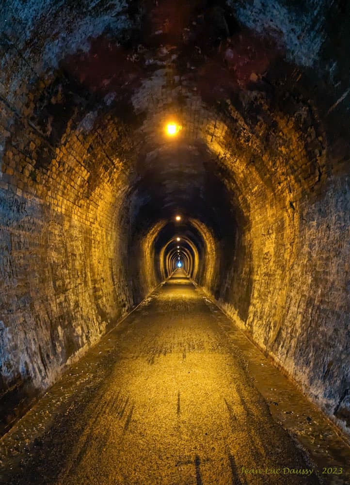
The Karangahake Gorge is a sharply winding canyon located between the Coromandel and Kaimai ranges in New Zealand's North Island. Carved by the Ohinemuri River, it was a significant site for gold mining from the 1880s to the 1950s, producing a substantial portion of New Zealand's gold output during its peak. Today, the gorge is a popular area for walking and cycling, with remnants of its mining past visible along its trails.