
Ngauranga Gorge
Ngauranga Gorge is a significant geographical feature and transportation corridor in the Wellington Region of New Zealand. It was formed by geological processes that created a deep cutting through the landscape, later enhanced by human engineering for road construction. State Highway 1 now traverses the gorge, serving as a critical link between Wellington City and its northern areas, handling a substantial volume of daily traffic.
Key Facts
- ›The gorge is approximately 2 kilometers (1.2 miles) long.
- ›It features a significant grade of approximately 8 percent.
- ›As of 2018, it accommodated 74,000 vehicles per day.
- ›It connects the Wellington Urban Motorway with the Johnsonville–Porirua Motorway.
- ›The name is derived from the former Ngā Uranga pā.
- ›The gorge has undergone multiple widening and re-grading projects, from a coach road to a six-lane motorway.

Ngauranga, Ngahauranga
River Erosion, Human Engineering
State Highway 1, Wellington Urban Motorway, Johnsonville–Porirua Motorway, Ngauranga Interchange, Newlands Interchange
Ngā Uranga
About Ngauranga Gorge
Ngauranga Gorge is a prominent geographical feature and a vital transportation corridor located in the Wellington Region of New Zealand. Its significance lies in its role as a critical link between the capital city, Wellington, and the areas to its north, including Porirua City and the Kāpiti Coast. The gorge is traversed by State Highway 1, which forms a major part of the Wellington Urban Motorway and the Johnsonville–Porirua Motorway, handling a considerable volume of daily traffic.
Formation and Development
The natural formation of the gorge has been significantly augmented by human engineering over time. The name "Ngauranga Gorge" is derived from the former Ngā Uranga pā, a historical Māori settlement located at the gorge's foot. Early records indicate variations in spelling, such as Ngauranga and Ngahauranga. The need for a more accessible route north out of Wellington led to the establishment of a road association in the late 1850s. Initial construction began in 1853, resulting in a coach road that was officially opened in 1858. However, by the early 20th century, this road was recognized as hazardous due to its steep gradients, sharp turns, and sections built on precarious foundations.
Modern Engineering and Significance
Recognizing the growing traffic demands, the gorge underwent a major transformation between 1938 and 1939, becoming part of the Centennial Highway and expanding to four lanes. This project symbolized a new era of infrastructure development. Further extensive widening occurred in the 1960s, increasing the capacity to six lanes and enabling the construction of major interchanges, notably the Ngauranga Interchange in 1984 and the Newlands Interchange in 1997-98, which addressed significant traffic congestion issues. The gorge also accommodates the North Island Main Trunk railway, which crosses it via an overbridge. Despite its engineering marvels, the gorge has experienced incidents such as rock slips and flooding, underscoring the ongoing need for maintenance and its dynamic environmental context.
Source: Wikipedia ↗
Frequently Asked Questions
How was Ngauranga Gorge formed?
The gorge was naturally formed by geological processes that cut through the landscape. Human efforts significantly shaped it by constructing roads, starting with a coach road in the mid-19th century and evolving into a multi-lane motorway.
What is the primary purpose of Ngauranga Gorge today?
Ngauranga Gorge serves as a vital transportation artery, with State Highway 1 running through it. It is the main route connecting Wellington City to its northern suburbs, Porirua City, and the Kāpiti Coast.
What is the historical significance of Ngauranga Gorge?
Historically, the gorge was a challenging route for early travelers. The construction of a road through it in the mid-1800s was considered as important as a tunnel for another city. It has been continuously developed to accommodate increasing traffic volumes, reflecting its ongoing importance.
What challenges have been associated with Ngauranga Gorge?
The gorge has historically been known for its steep grades, sharp turns, and narrow road sections, posing dangers to early motorists. It has also experienced closures due to rock slips and flooding, necessitating continuous maintenance and upgrades.
How has Ngauranga Gorge been engineered over time?
The gorge has undergone significant engineering transformations. It evolved from a challenging road to a four-lane highway by 1939 and was later widened to six lanes during the 1960s. Major interchanges have also been constructed to improve traffic flow.
Related Canyons

Buller Gorge
The Buller Gorge is a deep canyon carved by the Buller River in the northwest of New Zealand's South Island. It is named after Charles Buller, a prominent figure in the New Zealand Company. The gorge features New Zealand's longest swingbridge and is traversed by State Highway 6 and a railway line.

Cromwell Gorge
Cromwell Gorge is a steep gorge carved by the former Clutha River in New Zealand's Central Otago region. It winds between the Dunstan and Cairnmuir Mountains, historically significant for gold mining and fruit orchards. The gorge and parts of old Cromwell were flooded in the early 1990s to create Lake Dunstan behind the Clyde Dam.
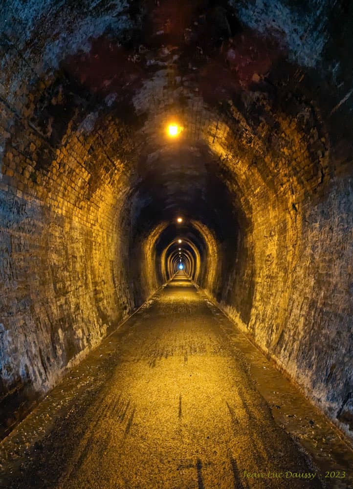
Karangahake Gorge
The Karangahake Gorge is a sharply winding canyon located between the Coromandel and Kaimai ranges in New Zealand's North Island. Carved by the Ohinemuri River, it was a significant site for gold mining from the 1880s to the 1950s, producing a substantial portion of New Zealand's gold output during its peak. Today, the gorge is a popular area for walking and cycling, with remnants of its mining past visible along its trails.