
Talari Gorges
River Canyon·Mali·Sénégal River·Sandstone
The Talari Gorges, also known as Gorges de Talary, are a series of striking red sandstone formations carved by the Sénégal River in Mali. Located between Bafoulabé and Galougo in the Kayes Region, these gorges are approximately 600 million years old and are celebrated for their grand beauty.
Key Facts
- ›The gorges are composed of approximately 600 million-year-old red sandstone.
- ›They are situated on the Sénégal River in Mali's Kayes Region.
- ›The gorges are located between the towns of Bafoulabé (upstream) and Galougo (downstream).
- ›The width of the gorges is approximately 100 meters.
- ›The depth of the gorges can reach up to 30 meters.
- ›They are found at an altitude of about 75 meters above sea level.

Gorges de Talary
River Erosion
Red Sandstone Formations
About Talari Gorges
The Talari Gorges, also known by their French name Gorges de Talary, are a series of impressive gorges located in Mali, within the Kayes Region. These natural formations are carved by the Sénégal River and are situated between the towns of Bafoulabé to the upstream and Galougo downstream.
Geological Significance
These gorges are renowned for their striking beauty, largely due to their composition of ancient red sandstone. This sandstone dates back approximately 600 million years, making the Talari Gorges a significant geological feature. The dimensions of the gorges are notable, with an approximate width of 100 meters and a depth that can reach up to 30 meters. They are located at an altitude of about 75 meters above sea level.
Location and Nearby Features
The Talari Gorges are a key part of the natural landscape along the Sénégal River. Downstream and to the north of the gorges lie the Gouina Falls, another significant waterfall that contributes to the region's scenic appeal. The presence of these natural wonders makes the area of interest for those exploring the natural beauty of Mali.
Source: Wikipedia ↗
Frequently Asked Questions
Where are the Talari Gorges located?
The Talari Gorges are located in Mali, specifically in the Kayes Region. They lie on the Sénégal River between the towns of Bafoulabé upstream and Galougo downstream.
What is the geological composition of the Talari Gorges?
The gorges are primarily made of red sandstone, which is approximately 600 million years old. This geological composition contributes to their distinctive coloration and grand beauty.
What are the dimensions of the Talari Gorges?
The Talari Gorges are about 100 meters wide and can reach a depth of up to 30 meters. They are situated at an altitude of approximately 75 meters above sea level.
What is the significance of the Talari Gorges?
The Talari Gorges are celebrated for their grandiose beauty. They are a notable geological feature carved by the Sénégal River in a region rich in natural landscapes.
Are there any notable features near the Talari Gorges?
Downstream and to the north of the Talari Gorges are the Gouina Falls. These falls are another significant natural attraction in the vicinity.
Related Canyons
Blackhand Gorge
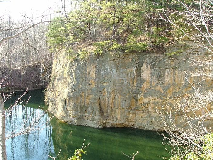
Blackhand Gorge is a 4-mile-long sandstone formation in Licking County, Ohio, carved by the Licking River. Named for a prehistoric petroglyph of a black hand, the gorge has served as a vital transportation corridor for centuries, hosting canal boats, railroads, interurban cars, and automobiles. Designated an Ohio Nature Preserve in 1975, it preserves a unique geological and historical landscape.
Breaks Canyon
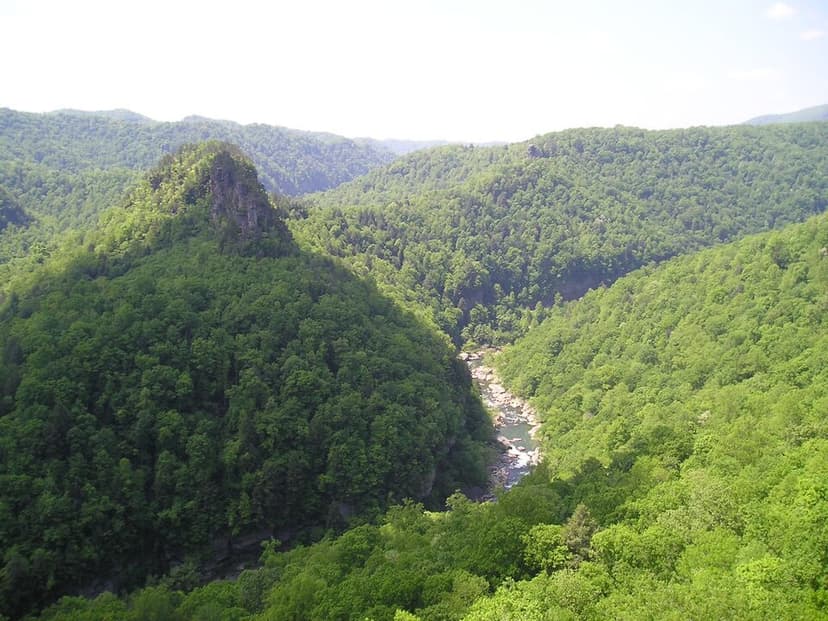
Breaks Canyon, often referred to as "the Breaks" and sometimes called the "Grand Canyon of the South," is a significant gorge carved by the Russell Fork River in southeastern Kentucky and southwestern Virginia. This natural wonder, formed over millions of years of erosion, is a prominent feature within Breaks Interstate Park, a unique bi-state park managed jointly by Virginia and Kentucky.

Canyon de Chelly
Canyon de Chelly National Monument, located in northeastern Arizona, preserves one of North America's longest continuously inhabited landscapes. Established in 1931, it protects the canyons and ruins of indigenous tribes, from the Ancestral Puebloans to the Navajo. The monument is unique as it is entirely owned and cooperatively managed by the Navajo Nation, with approximately 40 Navajo families residing within its boundaries.