
Taroko National Park
River Canyon·Taiwan·Quaternary·Liwu River
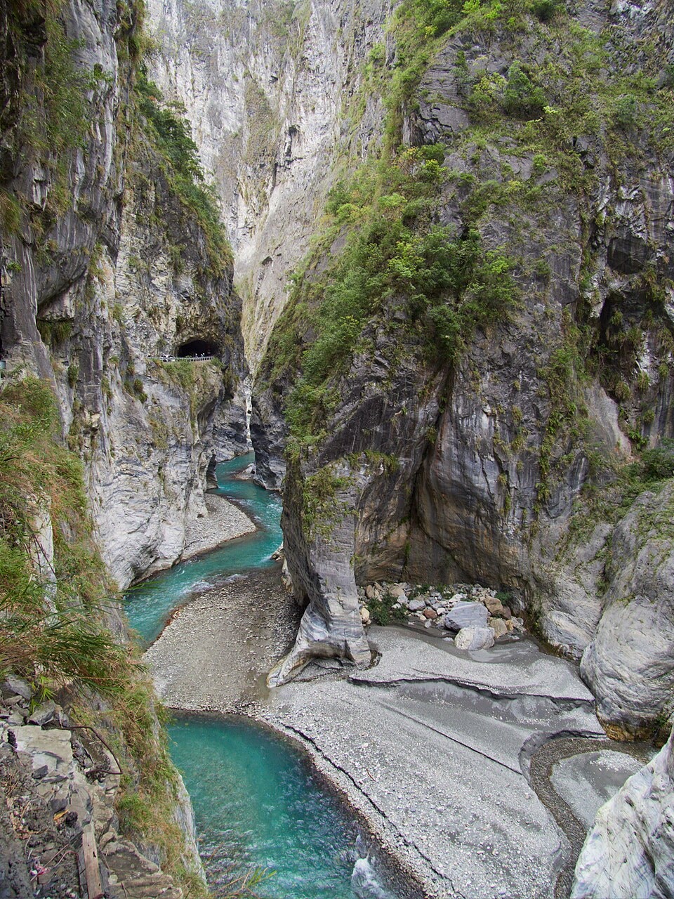
Taroko National Park is a prominent national park in Taiwan, celebrated for its spectacular Taroko Gorge, a marble canyon carved by the Liwu River. This gorge is one of only three in the world entirely cut through pure marble, alongside sites in India and Bulgaria. The park, established in its current form in 1986, is geologically active due to tectonic plate collision, resulting in a dynamic landscape of steep cliffs, frequent earthquakes, and landslides.
Key Facts
- ›Taroko Gorge is one of only three river-carved gorges worldwide composed entirely of pure marble.
- ›The park spans Taichung, Nantou, and Hualien Counties in Taiwan.
- ›It features twenty-seven peaks exceeding 3,000 meters.
- ›The gorge was primarily formed by the erosive power of the Liwu River acting on uplifted marble.
- ›The area is geologically dynamic due to ongoing tectonic plate convergence, leading to frequent earthquakes and landslides.
- ›Taroko National Park covers an area of 92,000 hectares.
Tsugitaka-Taroko National Park
River Erosion, Tectonic Activity, Uplifting
Taroko Gorge, Qingshui Cliff, Shakadang River Trail, Baiyang Trail Waterfalls, Tunnel of Nine Turns, Eternal Spring Shrine, Yenzikou, Zhuilu Cliff
Asian Tropical Deciduous Forests, High Mountain Pine and Cedar Forests
Taroko
About Taroko National Park
Taroko National Park: A Marble Marvel of Taiwan
Taroko National Park, situated in the heart of Taiwan, is renowned for its breathtaking Taroko Gorge, a magnificent canyon carved entirely through pure marble by the persistent flow of the Liwu River. This geological wonder stands as one of only three such river-carved marble gorges globally, sharing this distinction with sites in India and Bulgaria. Established in its contemporary form on November 28, 1986, the park encompasses over 92,000 hectares across Taichung, Nantou, and Hualien Counties, featuring dramatic landscapes with twenty-seven peaks soaring above 3,000 meters.
Geological Formation and Dynamic Landscape
The formation of Taroko Gorge is a testament to the powerful geological forces at play in Taiwan. The island's creation through the collision of the Philippine and Eurasian plates, known as the Penglai Orogeny, initiated the uplift of the Central Mountain Range some four million years ago. This ongoing tectonic activity, coupled with heavy subtropical rainfall, has driven intense erosion by the Liwu River. The marble, a metamorphosed form of limestone that accumulated approximately 230 million years ago, proved resilient but ultimately yielded to these forces, resulting in the gorge's exceptionally steep and narrow walls. The landscape remains highly dynamic, prone to frequent earthquakes and landslides, which significantly shape its terrain, as tragically highlighted by the 2024 Hualien earthquake.
Indigenous Heritage and Park Features
The name 'Taroko' itself is rooted in the heritage of the Truku tribe, an indigenous group that has long inhabited this region. The park boasts numerous notable natural and historical attractions, including the impressive Qingshui Cliffs, the Shakadang Trail along the river, and the cascading waterfalls of the Baiyang Trail. Other significant sites within the park include the Tunnel of Nine Turns, Eternal Spring Shrine, and Zhuilu Cliff, each offering unique perspectives on the gorge's grandeur and the region's natural beauty. The Central Cross-Island Highway traverses diverse ecosystems, from Asian tropical deciduous forests to high mountain pine and cedar forests, providing access to these spectacular vistas.
Source: Wikipedia ↗
Frequently Asked Questions
How was Taroko Gorge formed?
Taroko Gorge was carved into marble by the erosive power of the Liwu River. This process was facilitated by the ongoing uplifting of the land due to the collision of tectonic plates and heavy annual rainfall, which combined to rapidly transform the landscape.
What is unique about Taroko Gorge's geology?
Taroko Gorge is unique as it is one of only three river-carved gorges in the world that are cut entirely through pure marble. The marble itself formed from calcium carbonate deposits accumulated some 230 million years ago, which were later metamorphosed.
What are the main geological hazards in Taroko National Park?
The park's dynamic geological setting, characterized by ongoing tectonic plate convergence and heavy rainfall, contributes to frequent earthquakes and landslides. These hazards can cause significant rockfalls and alter the canyon's terrain, as demonstrated by events like the 2024 Hualien earthquake.
What indigenous group is associated with the name Taroko?
The name 'Taroko' derives from the Truku tribe, an indigenous group formally recognized by the Taiwanese government. The Truku tribe originally resided in the upper region of the Zhuoshui River before migrating to the area and continuing to reside in Hualien County, including within the park's boundaries.
How can I access Taroko National Park?
Taroko National Park is typically accessed from Hualien City, where various tours, buses, and transport options are available. The closest train station to the park is Xincheng Station, though visitors often use tour buses and taxis to reach the park's main attractions.
Is Taroko National Park a UNESCO World Heritage Site?
Taroko National Park was named a potential World Heritage Site in 2002. While it holds this designation as a candidate, it is not yet a fully inscribed UNESCO World Heritage Site.
Related Canyons
Trigrad Gorge
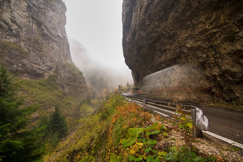
The Trigrad Gorge is a dramatic canyon characterized by its vertical marble rock walls, located in the Rhodope Mountains of Bulgaria. Formed by the Trigradska River, it is renowned for its geological uniqueness, being one of only three river-carved gorges globally that are cut entirely through pure marble. The gorge is a protected area and a significant tourist attraction, offering impressive natural scenery.
Kings Canyon
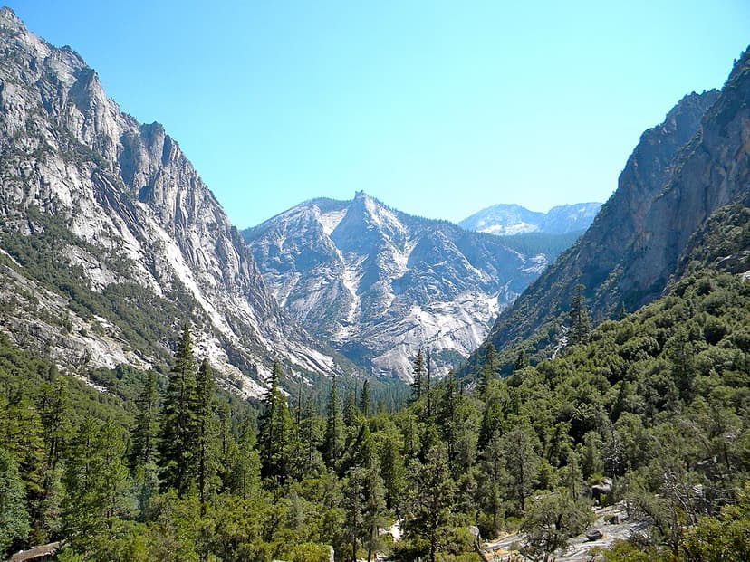
Kings Canyon is a rugged, glacier-carved valley in California's southern Sierra Nevada, renowned for its extreme vertical relief and natural beauty. Formed by Ice Age glaciations and subsequent river erosion, it is part of the larger Sequoia and Kings Canyon National Parks and is a significant protected wilderness area.

Ordesa y Monte Perdido
Ordesa y Monte Perdido National Park is a protected area in the Pyrenees, recognized for its dramatic geological formations and rich biodiversity. Originally established to preserve the Ordesa Valley, its scope was expanded in 1982 to encompass the entire region, becoming a UNESCO Biosphere Reserve and part of a World Heritage Site. The park's landscape is characterized by deep canyons carved by glacial and tectonic activity, with diverse flora and fauna.