
The Scalp
The Scalp is a deep natural chasm located west of Barnaslingan hill in County Dublin, Ireland. It was formed by powerful meltwater erosion during deglaciation approximately 12,000 years ago, serving as a subglacial and then surface channel for glacial outwash. This geological feature is recognized for its significance and is a habitat for various wildlife.
Key Facts
- ›The Scalp is a deep channel approximately 700 meters long, oriented north-south.
- ›It was formed by meltwater erosion during deglaciation, approximately 12,000 years ago.
- ›The chasm was initially a subglacial channel and later carried surface glacial outwash.
- ›It is listed as an Area of Scientific Interest due to its geological and geomorphological significance.
- ›The steep, rocky slopes are home to feral goats, deer, and badgers.
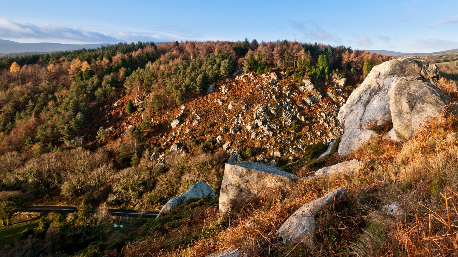
An Scailp
Meltwater Erosion, Glacial Outwash
Deep Channel, Steep, Rocky Slopes, Subglacial Channel Remnants
Feral Goats, Deer, Badgers
Forest
Barr Na SlinneáN
About The Scalp
Barnaslingan and The Scalp
Barnaslingan is a hill in County Dublin, Ireland, standing at 238 meters (781 feet) in height. Its most significant geological feature is The Scalp, a deep natural chasm situated to its west. The Irish name for The Scalp, "An Scailp," translates to 'the chasm' or "cleft," aptly describing its dramatic appearance.
Geological Formation
The Scalp is a striking example of glacial geomorphology, formed approximately 12,000 years ago during the deglaciation period at the end of the last Ice Age. It originated as a subglacial channel, carved beneath the thick ice sheet by powerful meltwater flows. As the ice retreated, it also carried surface glacial outwash from the north into Glacial Lake Enniskerry, draining the ice sheet that covered the Irish Midlands. The immense volume and energy of this meltwater are responsible for the chasm's considerable depth and scale. The Scalp extends for about 700 meters in a north-south orientation and is recognized as an Area of Scientific Interest for its geological and geomorphological importance.
Natural Habitat and Human Use
The steep, rocky slopes of The Scalp provide a habitat for a herd of feral goats, as well as deer and badgers, contributing to the area's biodiversity. The R117 road traverses The Scalp, connecting Kilternan and Enniskerry, with several buildings lining the route, including the Scalp Service Station and a former tea house. The surrounding Barnaslingan area is managed as a forest recreation area by the Dublin Mountains Partnership, offering waymarked walking trails and incorporating the Dublin Mountains Way, making it a popular destination for outdoor recreation.
Source: Wikipedia ↗
Frequently Asked Questions
How was The Scalp formed?
The Scalp was formed by meltwater erosion during deglaciation towards the end of the last Ice Age, about 12,000 years ago. It began as a subglacial channel carrying water beneath the ice and later served as a conduit for surface glacial outwash.
What is the geological significance of The Scalp?
The Scalp is significant as a geomorphological site, recognized as an Area of Scientific Interest. Its formation by high-energy meltwater flows during deglaciation resulted in its unusual depth and size.
What kind of wildlife can be found in The Scalp area?
The steep, rocky slopes of The Scalp are a habitat for a herd of feral goats. The area also supports populations of deer and badgers.
What activities are available near The Scalp?
The Scalp is located within a Coillte-owned forest recreation area with waymarked walking trails and an orienteering course. It is also traversed by the Dublin Mountains Way.
What historical structures are located within The Scalp?
The R117 road passes through The Scalp, and a small number of buildings are situated along its route. The most prominent is the Scalp Service Station, formerly a ballroom called “The New Era,” and a former tea room known as “Butler's Tea House” is now a private residence.
Related Canyons

Gap of Dunloe
The Gap of Dunloe is a striking 11-kilometer mountain pass in County Kerry, Ireland, recognized for its dramatic scenery and popularity as a tourist destination. Formed approximately 25,000 years ago by glacial erosion during the last ice age, the pass carves a U-shaped valley between the Macgillycuddy's Reeks and the Purple Mountain Group mountain ranges.
Kings Canyon
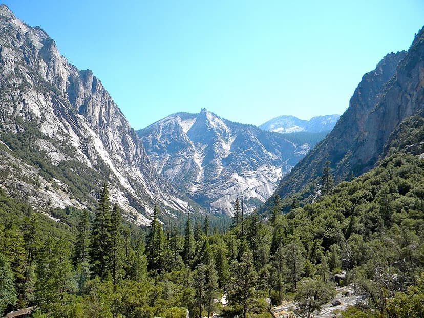
Kings Canyon is a rugged, glacier-carved valley in California's southern Sierra Nevada, renowned for its extreme vertical relief and natural beauty. Formed by Ice Age glaciations and subsequent river erosion, it is part of the larger Sequoia and Kings Canyon National Parks and is a significant protected wilderness area.
Mizen Head
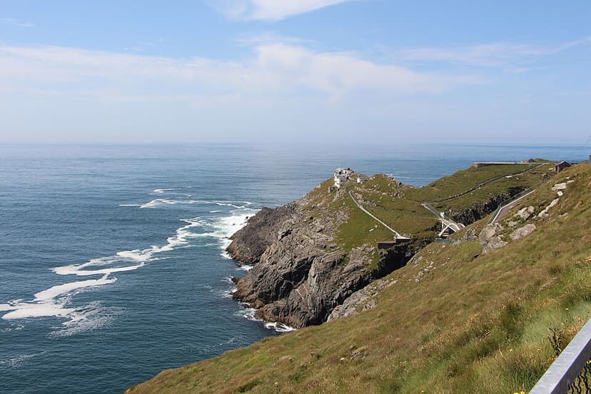
Mizen Head is a prominent coastal promontory in County Cork, Ireland, traditionally considered the country's most southerly point, though Brow Head is geographically further south. Its dramatic cliffs and historical significance as a landmark for transatlantic voyagers make it a major tourist attraction. The site features an old signal station, now a museum, accessible via a bridge over a chasm and a series of steps and paths.