
Waimakariri Gorge
River Canyon·New Zealand·Waimakariri River
The Waimakariri Gorge is a narrow canyon carved by the Waimakariri River in inland Canterbury, South Island, New Zealand. As the river approaches the Canterbury Plains, it is forced through this confined passage, contrasting with its wider, shingle-bed course for much of its length. The gorge is notable for the historic Waimakariri Gorge Bridge, built in 1876, which once carried a railway line.
Key Facts
- ›Located on the Waimakariri River in inland Canterbury, South Island, New Zealand.
- ›The Waimakariri River is forced through a narrow canyon in this section, unlike its wider shingle beds elsewhere.
- ›The Waimakariri Gorge Bridge, with a height of 30 meters, was built in 1876.
- ›The bridge formerly carried the Oxford Branch railway line connecting Oxford and Sheffield until the early 1930s.
- ›Much of the gorge is traversed by the Midland line railway.

River Erosion
Waimakariri Gorge Bridge, Midland Line Railway
About Waimakariri Gorge
The Waimakariri Gorge is a significant natural feature located on the Waimakariri River in inland Canterbury, on New Zealand's South Island. This gorge represents a dramatic constriction in the river's course, where it is forced through a narrow canyon as it approaches the Canterbury Plains. This contrasts sharply with much of the Waimakariri River's journey, which is characterized by wide, shingle-strewn beds.
Historical Infrastructure
A notable aspect of the Waimakariri Gorge is the presence of historical and active transportation routes. The Waimakariri Gorge Bridge, a structure with a height of 30 meters, was built in 1876 by William Stocks. This bridge was historically crucial, serving as part of the Oxford Branch railway line that linked Oxford and Sheffield until the early 1930s. Today, a significant portion of the gorge is also followed by the Midland line railway, underscoring the geographical challenges and engineering solutions associated with traversing this area.
Source: Wikipedia ↗
Frequently Asked Questions
Where is the Waimakariri Gorge located?
The Waimakariri Gorge is situated on the Waimakariri River in inland Canterbury, on the South Island of New Zealand.
What is the significance of the Waimakariri Gorge Bridge?
The Waimakariri Gorge Bridge, built in 1876, is a significant historical structure. It stood 30 meters high and, until the early 1930s, served as a crucial railway bridge for the Oxford Branch line.
How does the Waimakariri Gorge differ from the rest of the Waimakariri River's course?
Much of the Waimakariri River flows through wide shingle beds. However, as it nears the Canterbury Plains, the river is constricted and forced through the narrow canyon of the Waimakariri Gorge.
Is the Waimakariri Gorge accessible by train?
Yes, much of the Waimakariri Gorge is followed by the Midland line railway, suggesting that train travel offers views of the gorge.
Related Canyons

Buller Gorge
The Buller Gorge is a deep canyon carved by the Buller River in the northwest of New Zealand's South Island. It is named after Charles Buller, a prominent figure in the New Zealand Company. The gorge features New Zealand's longest swingbridge and is traversed by State Highway 6 and a railway line.

Cromwell Gorge
Cromwell Gorge is a steep gorge carved by the former Clutha River in New Zealand's Central Otago region. It winds between the Dunstan and Cairnmuir Mountains, historically significant for gold mining and fruit orchards. The gorge and parts of old Cromwell were flooded in the early 1990s to create Lake Dunstan behind the Clyde Dam.
Karangahake Gorge
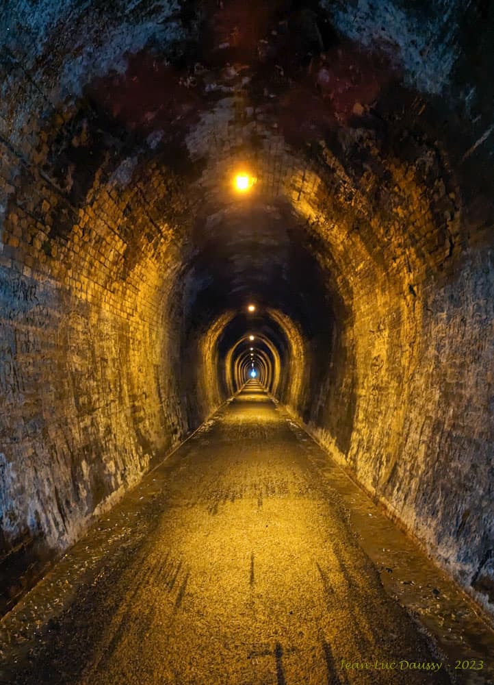
The Karangahake Gorge is a sharply winding canyon located between the Coromandel and Kaimai ranges in New Zealand's North Island. Carved by the Ohinemuri River, it was a significant site for gold mining from the 1880s to the 1950s, producing a substantial portion of New Zealand's gold output during its peak. Today, the gorge is a popular area for walking and cycling, with remnants of its mining past visible along its trails.