
Weka Pass
River Canyon·New Zealand·Waipara River·Limestone
Weka Pass is a geological feature and locality in the northern Canterbury region of New Zealand's South Island, formed by the erosive action of the Waipara River. This natural passage through soft limestone and mudstone is notable for its distinctive rock formations, historical Māori rock art, and role as a transport corridor.
Key Facts
- ›Formed by the erosion of limestone and mudstone by the Waipara River.
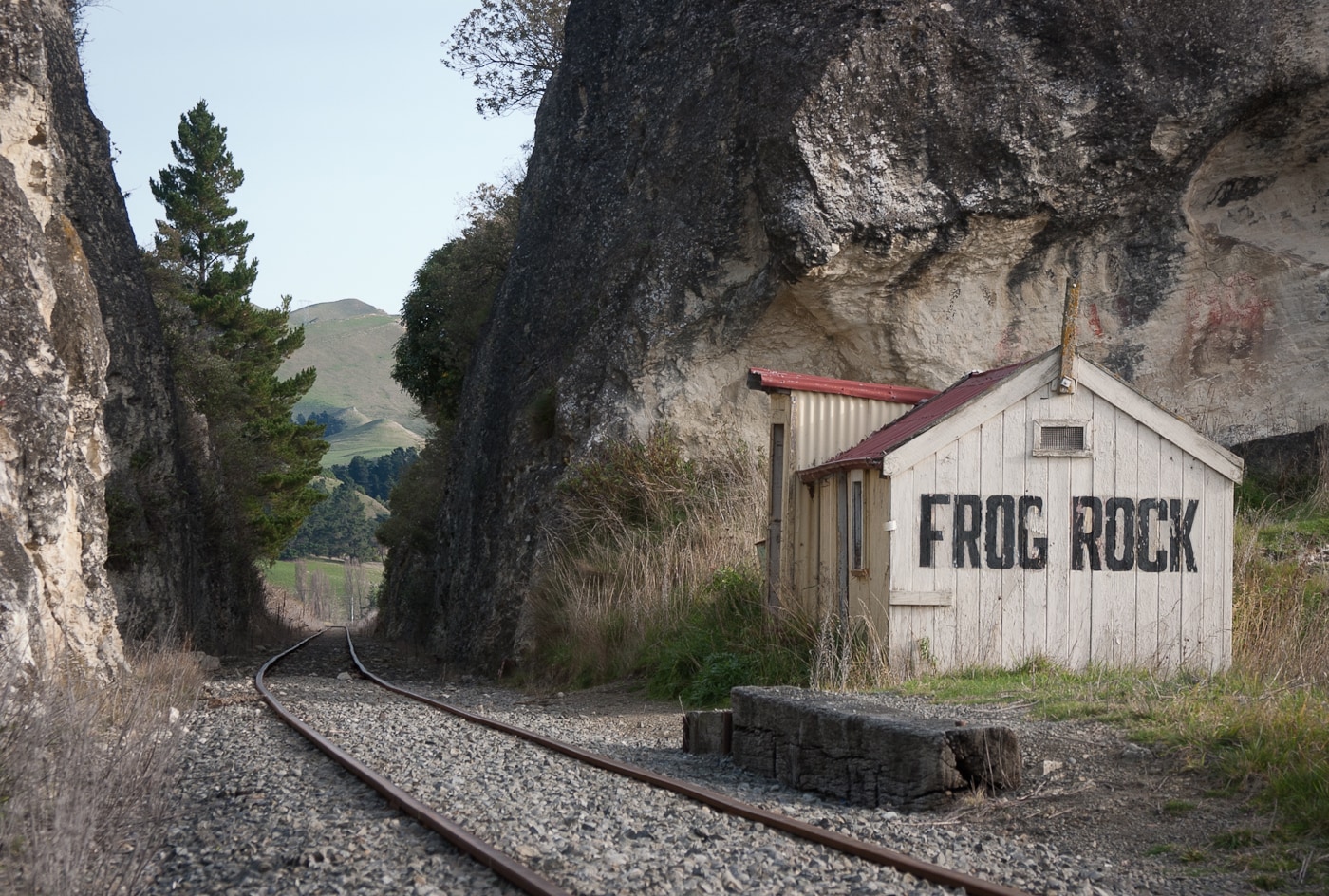
- ›Features distinctive limestone formations such as Frog Rock and the Seal.
- ›Contains a limestone overhang with historical Māori rock art.
- ›Located between the towns of Waipara and Waikari in New Zealand's South Island.
- ›Serves as a route for State Highway 7 and a restored heritage railway.
River Erosion
Frog Rock, the Seal, MāOri Rock Art
Kiwi
About Weka Pass
Weka Pass is a significant geological formation and locality situated in the northern Canterbury region of New Zealand's South Island. Positioned between the towns of Waipara and Waikari, it is characterized by its natural passage carved through the landscape by the erosive forces of the Waipara River.
Geological Formation and Features
The Waipara River is the primary agent responsible for the formation of Weka Pass, having worn down the area's soft limestone and mudstone. This ongoing erosion has sculpted a variety of distinctive limestone formations within the pass, some of which are known by descriptive names such as Frog Rock and The Seal. These natural sculptures highlight the geological processes that have shaped the region.
Historical and Cultural Significance
Weka Pass holds a notable place in human history, particularly for the indigenous Māori population. Approximately a millennium ago, Māori peoples explored the area and utilized a limestone overhang as a shelter. This overhang was once adorned with rock art, a testament to their presence and cultural practices. While the original art was overpainted in 1930 with the aim of preservation, it remains a significant historical attraction within the Weka Pass Historic Park. Visitors can access the art cave via a 2.25 km hike, and images of the original paintings are available at the Canterbury Museum in Christchurch.
Transportation and Modern Use
Today, Weka Pass serves as an important transportation corridor. State Highway 7 traverses the pass, facilitating modern road travel. Additionally, a restored heritage railway line, operated by the Weka Pass Railway preservation group, runs through the area. Originally intended as part of a larger rail network, this preserved line now primarily caters to tourists, offering a glimpse into the region's past while showcasing its natural beauty.
Source: Wikipedia ↗
Frequently Asked Questions
How was Weka Pass formed?
Weka Pass was carved by the Waipara River through the erosion of the soft limestone and mudstone deposits in the area. This continuous process has shaped the landscape over time.
What are the notable geological features of Weka Pass?
The pass is characterized by several distinctive limestone formations, including those descriptively named Frog Rock and The Seal. These formations are a result of the erosive forces acting upon the local geology.
Is there any historical human significance to Weka Pass?
Yes, Weka Pass holds historical significance for Māori, who explored the area about a millennium ago and utilized a limestone overhang for shelter. This overhang once featured rock art, which is now preserved as a key attraction in the Weka Pass Historic Park.
How can I visit the historical rock art at Weka Pass?
The art cave at Weka Pass can be accessed via a 2.25 km hike. While the original Māori rock art was painted over in 1930 for preservation, reproductions and images of the untouched paintings are available for viewing at the Canterbury Museum in Christchurch.
What transportation routes pass through Weka Pass?
Weka Pass is a significant transport corridor, with both State Highway 7 and a restored heritage railway line running through it. The railway, originally part of the Waiau Branch, now operates primarily for tourists.
Related Canyons

Buller Gorge
The Buller Gorge is a deep canyon carved by the Buller River in the northwest of New Zealand's South Island. It is named after Charles Buller, a prominent figure in the New Zealand Company. The gorge features New Zealand's longest swingbridge and is traversed by State Highway 6 and a railway line.

Cromwell Gorge
Cromwell Gorge is a steep gorge carved by the former Clutha River in New Zealand's Central Otago region. It winds between the Dunstan and Cairnmuir Mountains, historically significant for gold mining and fruit orchards. The gorge and parts of old Cromwell were flooded in the early 1990s to create Lake Dunstan behind the Clyde Dam.
Karangahake Gorge
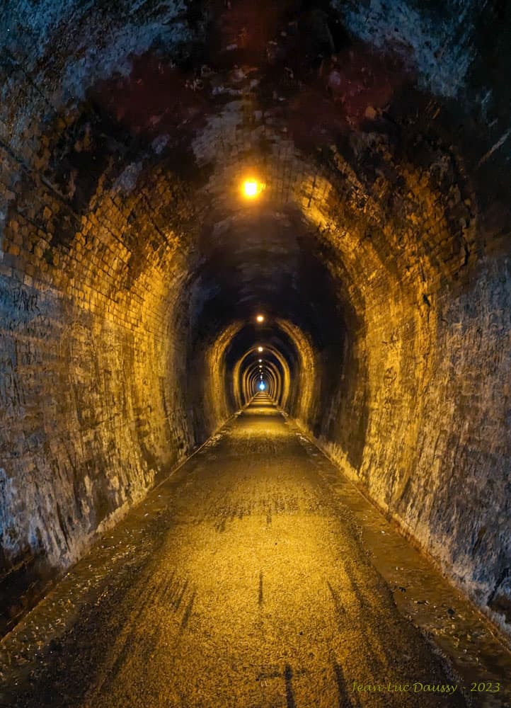
The Karangahake Gorge is a sharply winding canyon located between the Coromandel and Kaimai ranges in New Zealand's North Island. Carved by the Ohinemuri River, it was a significant site for gold mining from the 1880s to the 1950s, producing a substantial portion of New Zealand's gold output during its peak. Today, the gorge is a popular area for walking and cycling, with remnants of its mining past visible along its trails.