
Amelia Creek
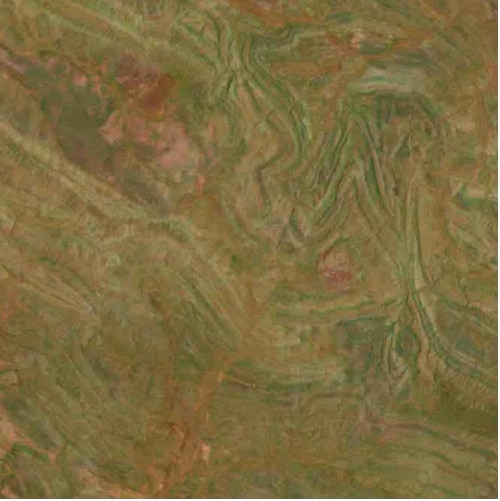
Amelia Creek is an eroded impact structure located in the Davenport Range, Northern Territory, Australia. Its discovery was facilitated by the identification of shatter cones near its center, amidst complexly folded and faulted Paleoproterozoic rocks. The crater's original size is estimated from a deformed zone surrounding the central shatter cone locality.
Key Facts
- ›Located in the Davenport Range, Northern Territory, Australia.
- ›Estimated original crater size is approximately 20 by 12 km.
- ›Impact occurred between 1660 and 600 million years ago.
- ›Discovered through the identification of shatter cones.
- ›Underlain by Paleoproterozoic sedimentary and volcanic rocks.
- ›The crater is significantly eroded and difficult to recognize.
Shatter Cones
About Amelia Creek
Amelia Creek Crater
Amelia Creek is an impact structure, also known as an astrobleme, located in the Davenport Range of the Northern Territory, Australia. It represents the eroded remnant of a former impact crater, making its identification challenging due to significant erosion and the complex geological history of the region. The surrounding area consists of extensively folded and faulted Paleoproterozoic sedimentary and volcanic rocks.
Discovery and Morphology
The recognition of Amelia Creek as an impact structure was primarily facilitated by the identification of shatter cones found near its center. These distinctive geological formations are strong indicators of a high-energy impact event. The central shatter cone locality is encircled by an area of anomalous deformation measuring approximately 20 by 12 kilometers. The asymmetry of this deformed zone may suggest a very oblique impact angle or could be partly attributed to the pre-existing structural complexity of the underlying rocks. This deformed zone is considered the best estimate for the original size of the crater.
Age and Geological Context
The impact event that formed Amelia Creek occurred after the folding of the Paleoproterozoic rocks but prior to the deposition of Neoproterozoic and Cambrian strata that now overlie them. This geological sequencing constrains the age of the impact to an interval between about 1660 and 600 million years ago. The crater's eroded state means it is not clearly visible on the surface, and its recognition relies heavily on subsurface geological evidence and features like shatter cones.
Source: Wikipedia ↗
Frequently Asked Questions
Where is the Amelia Creek impact structure located?
The Amelia Creek impact structure is located in the Davenport Range in the Northern Territory of Australia. It is situated within a region of Paleoproterozoic sedimentary and volcanic rocks.
How was the Amelia Creek impact crater discovered?
Amelia Creek was discovered through the identification of shatter cones near its center. These geological features are indicative of a high-energy impact event.
What is the estimated size of the Amelia Creek crater?
The original size of the Amelia Creek crater is estimated from a zone of anomalous deformation measuring approximately 20 by 12 kilometers. This asymmetry may be related to an oblique impact or pre-existing geological complexity.
When did the impact event that formed Amelia Creek occur?
The impact event at Amelia Creek is constrained to have occurred after the folding of Paleoproterozoic rocks but before the deposition of Neoproterozoic and Cambrian rocks. This places the event between approximately 1660 and 600 million years ago.
Is Amelia Creek a well-preserved impact crater?
No, Amelia Creek is the eroded remnant of a former impact crater. Its eroded nature and the complex geological folding and faulting of the surrounding rocks make it difficult to recognize.
Related Impact Craters

Cleanskin
The Cleanskin crater is an eroded impact structure in Australia, straddling the border between the Northern Territory and Queensland. With a diameter of 15 kilometers, its polygonal shape is attributed to pre-existing regional faults. The crater formed during the late Mesoproterozoic to Neoproterozoic eras and became eroded and buried by the Cambrian and Cretaceous periods respectively.

Shoemaker
The Shoemaker impact structure, formerly known as Teague Ring, is the eroded remnant of a significant impact crater located in central Western Australia. Named in honor of planetary geologist Eugene Shoemaker, its prominent ring-like feature is visible in satellite imagery and lies on the boundary of the Earaheedy Basin and the Yilgarn craton.
Foelsche
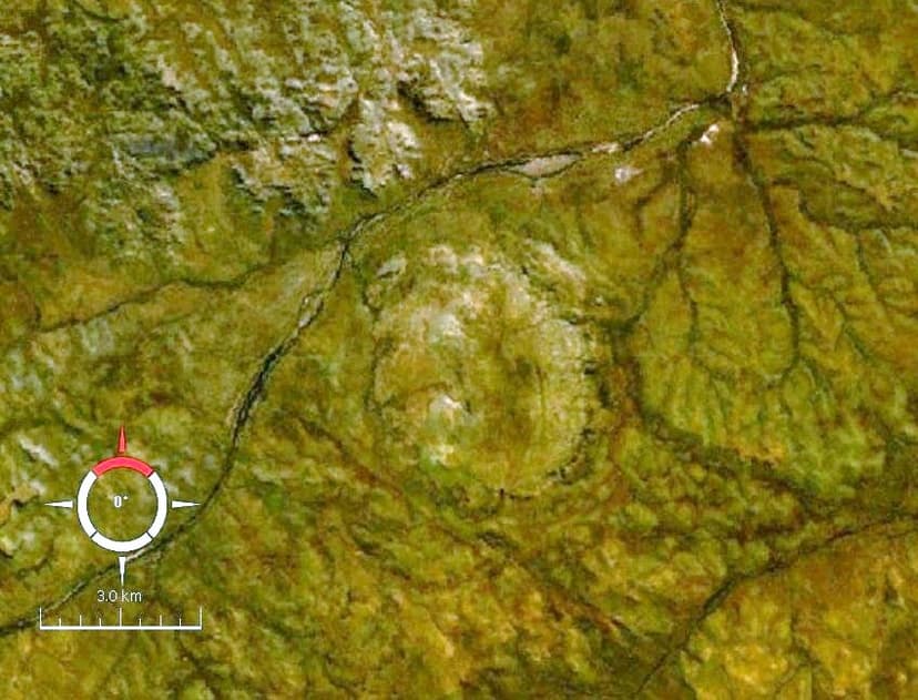
Foelsche is a largely buried impact structure in Australia's Northern Territory, named after the nearby Foelsche River. Its circular nature is evident on aeromagnetic images, leading to its discovery despite minimal surface exposure. The impact occurred into ancient sedimentary rocks, with remnants of the crater rim found around a Neoproterozoic sedimentary hill that partly covers the structure.