
Goyder
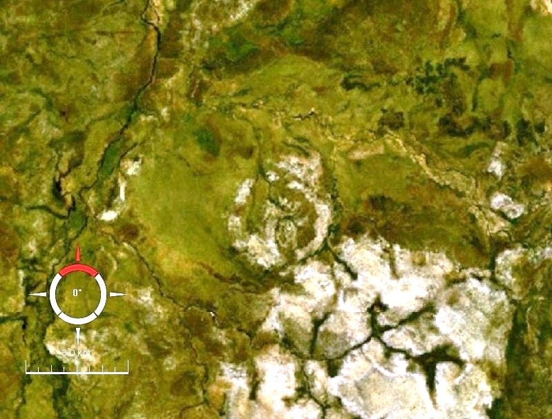
The Goyder impact structure is the eroded remnant of an ancient impact crater located in Arnhem Land, Northern Territory, Australia. It is characterized by a 3 km diameter ring of fractured sandstone, interpreted as a central uplift, with an estimated original crater rim diameter of 9-12 km. Evidence such as shatter cones and shocked quartz confirms its impact origin.
Key Facts
- ›Located in Arnhem Land, Northern Territory, Australia.
- ›Estimated original crater rim diameter of 9-12 km.
- ›Exposed feature is a 3 km diameter ring of fractured sandstone.
- ›Impact occurred into Mesoproterozoic sedimentary rocks.
- ›Evidence includes shatter cones and shocked quartz.
- ›Age is constrained to be older than Cretaceous and more recent than 1325 Ma.
Shocked Quartz
About Goyder
Goyder Impact Structure
The Goyder impact structure, also known as an astrobleme, represents the eroded remnants of a former impact crater located in Arnhem Land, within the Northern Territory of Australia. It derives its name from the nearby Goyder River. The impact event occurred within Mesoproterozoic sedimentary rocks belonging to the McArthur Basin.
Geological Features
The currently exposed portion of the Goyder structure is marked by a 3 km diameter ring of fractured and faulted sandstone. This feature is interpreted by geologists as the eroded relic of a central uplift, which is material that rebounded from the impact to form a central peak in the original crater. The original rim of the crater has long since been removed by erosion, but it is estimated to have been approximately 9–12 km in diameter. Definitive evidence for an impact origin at the Goyder site includes the presence of shatter cones and shocked quartz found in outcrops of deformed sandstone at the structure's center.
Age and Accessibility
The precise timing of the impact that formed the Goyder structure cannot be accurately determined. However, it is known to have occurred more recently than 1325 Ma (middle Mesoproterozoic), which is the age of igneous rocks inferred to have been uplifted by the impact based on aeromagnetic data. It is also significantly older than the Cretaceous period. The site is notably remote and presents considerable challenges for access.
Source: Wikipedia ↗
Frequently Asked Questions
Where is the Goyder impact structure located?
The Goyder impact structure is situated in Arnhem Land, in the Northern Territory of Australia. It is named after the nearby Goyder River.
What is the size of the Goyder impact structure?
While the original crater rim is estimated to have been 9-12 km in diameter, the currently exposed feature is a 3 km diameter ring of fractured sandstone, representing a central uplift.
What evidence indicates Goyder is an impact structure?
Evidence supporting an impact origin includes the presence of shatter cones and shocked quartz found in the deformed sandstone outcrops at the center of the site.
When did the impact event that formed Goyder occur?
The exact age of the impact is not precisely known. However, it is estimated to have occurred more recently than 1325 million years ago (middle Mesoproterozoic) and significantly older than the Cretaceous period.
Related Impact Craters

Gosses Bluff
Gosses Bluff is the eroded remnant of a significant impact crater located in Australia's southern Northern Territory. Estimated to have formed around 142.5 million years ago from an asteroid or comet impact, its original 22 km diameter rim is now gone, leaving a 5 km wide central uplift structure. Known as Tnorala to the Western Arrernte people, it holds deep cultural and spiritual significance.
Slate Islands
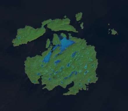
The Slate Islands are an archipelago in Lake Superior, Ontario, Canada, formed by a large meteorite impact. The impact created a crater estimated to be 32 km wide, with the remaining islands interpreted as a central uplift. Established as a provincial park in 1985, the islands are notable for their unique geology, including shatter cones, and for hosting Ontario's largest herd of boreal woodland caribou.
Cleanskin
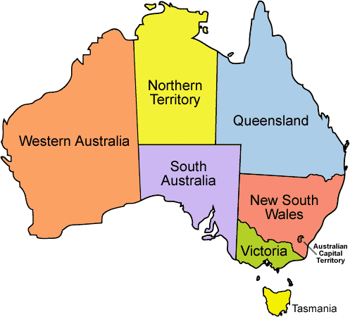
The Cleanskin crater is an eroded impact structure in Australia, straddling the border between the Northern Territory and Queensland. With a diameter of 15 kilometers, its polygonal shape is attributed to pre-existing regional faults. The crater formed during the late Mesoproterozoic to Neoproterozoic eras and became eroded and buried by the Cambrian and Cretaceous periods respectively.