
Kalkkop
South Africa·Pleistocene·Cenozoic·Unknown
Kalkkop is a confirmed impact crater located in the Eastern Cape Province of South Africa, approximately 50 kilometers southeast of Aberdeen. The impact event occurred about 250,000 years ago, leaving a significant crater that has since been filled with a deep limestone deposit.
Key Facts
- ›Kalkkop is located on a private farm in the Eastern Cape Province, South Africa.
- ›The impact event occurred approximately 250,000 years ago during the Pleistocene epoch.
- ›The crater has a diameter of 640 meters.
- ›A limestone deposit, 88 meters deep, has formed over the original crater.
- ›A breccia layer, 210 meters deep, lies beneath the limestone deposit.
- ›A corehole drilled in 1992 revealed breccia with elevated osmium content and a low Os187/Os188 ratio, indicative of meteoritic composition.
Breccia, Limestone
About Kalkkop
Kalkkop Impact Crater
Kalkkop is a confirmed impact crater located on a private farm in the Eastern Cape Province of South Africa, approximately 50 kilometers southeast of the town of Aberdeen. The name "Kalkkop" is derived from Afrikaans words, with "kalk" meaning limestone and "kop" meaning head, referencing the geological features found at the site.
Geological History
The meteorite impact that created Kalkkop occurred about 250,000 years ago, during the Pleistocene epoch, on what is now a flat Karoo landscape. The event left a crater that was originally 640 meters in diameter and several hundred meters deep. Over vast geological timescales, draining water has led to the deposition of an 88-meter-deep layer of limestone within the crater. Beneath this limestone deposit lies a significant breccia layer, extending a further 210 meters deep. Today, only a weathered circular ridge is still visible on the surface, indicating the former extent of the impact structure.
Scientific Investigation
The impact origin of Kalkkop was investigated through geological analysis. In 1992, a deep corehole was drilled into the crater to a depth of 151.8 meters. Samples from this core revealed a breccia layer with an elevated osmium content and a low Os187/Os188 ratio of 0.215. This isotopic signature is considered to be closer to meteoritic composition than the typical crust of the Earth, providing strong evidence for an extraterrestrial impact event. Kalkkop is recognized as one of four confirmed impact sites in South Africa and one of six within the broader Southern African region.
Source: Wikipedia ↗
Frequently Asked Questions
Where is the Kalkkop impact crater located?
Kalkkop is situated on a private farm in the Eastern Cape Province of South Africa. It is located about 50 kilometers southeast of the town of Aberdeen.
When did the Kalkkop impact event occur?
The impact event that formed Kalkkop is estimated to have occurred approximately 250,000 years ago. This places the event within the Pleistocene epoch.
What are the dimensions of the Kalkkop crater?
The Kalkkop crater has a diameter of 640 meters. While the original depth was a few hundred meters, it is now largely obscured by geological deposits.
What geological features are found at Kalkkop?
Over time, a deep limestone deposit, 88 meters thick, has accumulated within the crater. Beneath this, there is a breccia layer that extends for another 210 meters. At the surface, only a weathered circular ridge remains visible.
What evidence suggests Kalkkop is an impact crater?
A corehole drilled in 1992 recovered breccia with an elevated osmium content and a low Os187/Os188 ratio. These chemical signatures are considered to be closer to meteoritic composition than typical Earth crust, providing strong evidence for an impact origin.
Related Impact Craters

Vredefort
The Vredefort impact structure in South Africa is one of Earth's largest and oldest known impact craters. Although the original crater has been eroded away, the remaining deformed bedrock forms the Vredefort Dome, a significant geological feature. Its immense size and age make it crucial for understanding early Earth history and impact events.

Morokweng
The Morokweng impact structure is a massive, buried crater located in South Africa's North West province. Estimated to be around 146 million years old, it was formed by the impact of an L chondrite asteroid. Significantly, fragments of the original asteroid have been recovered from the site, a rare occurrence for large impact structures.
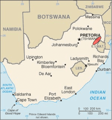
S2 spherule bed
The S2 spherule bed is one of at least 8 layers containing spherules found within the Barberton Greenstone Belt, dating back approximately 3.26 billion years. These spherules are evidence of ancient impact events, with the S2 event being one of the most powerful, potentially causing global catastrophes like megatsunamis and prolonged darkness. The Barberton Greenstone Belt itself is a significant geological formation, preserving some of the oldest rocks and traces of life on Earth.