
Oasis
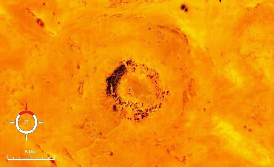
The Oasis Impact Structure is a deeply eroded impact site in southwestern Libya, located south of the BP Impact Structure. While its original crater has been entirely destroyed by erosion, the structure is characterized by a discontinuous ring of hills approximately 5.1 km in diameter, and its overall diameter is estimated to be around 18 km. The presence of shocked quartz confirms its origin as an impact event.
Key Facts
- ›Estimated diameter of the Oasis Impact Structure is approximately 18 km.
- ›The defining topographic feature is a discontinuous ring of hills with a 5.1 km diameter.
- ›The impact structure is composed of deformed sedimentary rocks, including early Cretaceous sandstones.
- ›Shocked quartz, indicative of high-pressure metamorphism, has been found at the site.
- ›The exact age of the Oasis Impact Structure is unknown, but its maximum age is estimated based on the Nubian sandstone.
- ›It was first recognized as a potential impact structure in 1967 using space and aerial photography.
Bp Impact Structure
Shocked Quartz, Kaolinite, Iron, Manganese, Chert
About Oasis
Oasis Impact Structure
The Oasis Impact Structure is a deeply eroded geological feature located in southwestern Libya, approximately 80 kilometers south of the BP Impact Structure. While the original impact crater has been entirely obliterated by erosion, the structure is still discernible through its prominent topographic expressions and the presence of shocked quartz, which confirms its extraterrestrial impact origin.
Description and Discovery
Recognized in 1967 through space and aerial photography by Kohman and others, the Oasis Impact Structure was later identified as a potential impact site by W. M. Johnson during geological mapping. The structure's most striking topographic feature is a discontinuous ring of hills, standing about 100 meters high and spanning a diameter of 5.1 kilometers. Radar imagery and aerial photographs have led to estimations of the overall diameter of the Oasis Impact Structure ranging from 15.1 to 18 kilometers. A mantle of desert sand largely covers and obscures the outer edges of this impact site.
Geological Characteristics
The deformed bedrock of the Oasis Impact Structure consists of sedimentary rocks. The inner ring of hills is composed of relatively resistant early Cretaceous sandstones belonging to the Nubian Sandstone formation, which exhibit intense folding, with some beds appearing vertical or overturned. The plains surrounding these hills are underlain by undifferentiated Carboniferous sedimentary rocks. The presence of shocked quartz, exhibiting multiple sets of planar deformation features, provides strong evidence for the high-pressure shock metamorphism characteristic of impact events.
Age and Related Structures
The absolute age of the Oasis Impact Structure remains undetermined due to the absence of datable materials. However, its maximum age is estimated to be between 90 and 120 million years, based on the presumed age of the Nubian sandstone. It has been speculated that the Oasis Impact Structure may be of similar age to the nearby BP Impact Structure, potentially resulting from a double impact event. Both structures have been considered as possible sources for the Libyan desert glass, although recent trace element studies have cast doubt on this hypothesis for the sedimentary rocks associated with these sites.
Source: Wikipedia ↗
Frequently Asked Questions
Where is the Oasis Impact Structure located?
The Oasis Impact Structure is situated in southwest Libya, approximately 80 km south of the BP Impact Structure. It is located within a desert region covered by sand.
What are the dimensions of the Oasis Impact Structure?
The structure's diameter has been estimated through various methods, with recent interpretations suggesting it is around 18 km. The most prominent topographic feature is a discontinuous ring of hills measuring 5.1 km in diameter.
What evidence confirms the Oasis Impact Structure as an impact site?
The confirmation of the Oasis Impact Structure as an impact site is based on its geometry, style of deformation, and the presence of shocked quartz grains within microbreccia samples. These features indicate high-pressure shock metamorphism characteristic of impact events.
What is the age of the Oasis Impact Structure?
The absolute age of the Oasis Impact Structure is unknown due to the absence of rocks and minerals suitable for radiometric dating. However, its maximum age is estimated to be around 90–120 million years old, based on the assumed age of the Nubian sandstone.
What type of rocks were impacted?
The deformed strata of the Oasis Impact Structure consist of sedimentary rocks. Specifically, the inner ring of hills is composed of resistant early Cretaceous sandstones of the Nubian Sandstone, while the surrounding plains are underlain by undifferentiated Carboniferous sedimentary rocks.
Why is the Oasis Impact Structure so eroded?
The Oasis Impact Structure is deeply eroded, a process that has entirely destroyed the original impact crater. This erosion has significantly obscured the outer edges of the structure, which are largely blanketed by desert sand.
Related Impact Craters
BP
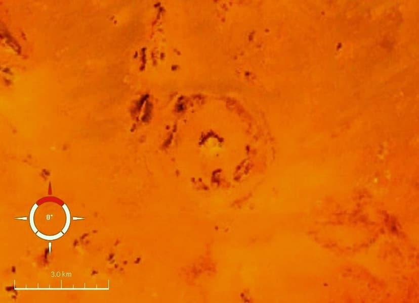
The BP Impact Structure, also known as Gebel Dalma, is a deeply eroded impact crater in southwestern Libya. It is characterized by three discontinuous concentric ridges formed from deformed sedimentary rocks, with an estimated diameter of 3.2–3.4 km. The structure's impact origin has been confirmed through the analysis of shock metamorphism in quartz grains found at the site.

Gweni-Fada
Gweni-Fada Crater is an eroded impact structure located in the Ennedi Plateau of Chad. First identified in aerial photographs in the 1950s, its impact origin was later supported by evidence of shock metamorphism found in collected rock samples. The crater exhibits a complex morphology with an outer depression and an inner rugged terrain.
Chesapeake Bay
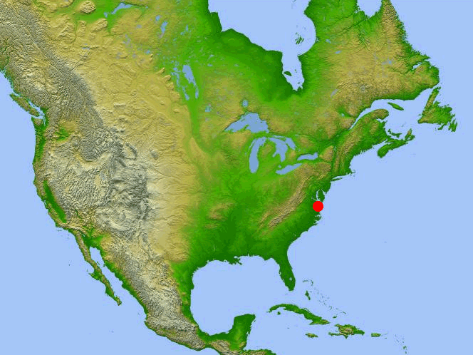
The Chesapeake Bay impact crater is a large, deeply buried structure located beneath the mouth of the Chesapeake Bay in the United States. Formed by a high-speed bolide impact approximately 35.5 million years ago, it is one of the best-preserved "wet-target" impact craters globally and has significantly influenced the region's geology, including the formation of the Chesapeake Bay itself.