
Serra da Cangalha
Serra da Cangalha is a significant impact crater located in Tocantins, Brazil, measuring between 12 and 13 kilometers in diameter. It is the second-largest known crater in Brazil and was formed approximately 220 million years ago during the Triassic period. The crater's name translates to "Pack-Saddle Mountains" in Portuguese, referencing its distinctive topography.
Key Facts
- ›Diameter: 12-13 km
- ›Age: Approximately 220 million years old (Triassic period)
- ›Location: Tocantins, Brazil
- ›Discovery: First identified as an impact crater in 1973
- ›Morphology: Complex crater with concentric valleys and a central basin
- ›Evidence: Contains impact breccias, quartzite shatter cones, and shocked quartz

RiachãO Ring, Santa Marta Crater
Shocked Quartz, Impact Breccias, Quartzite Shatter Cones
About Serra da Cangalha
Serra da Cangalha is a substantial impact crater situated in the state of Tocantins, Brazil. With an outer perimeter measuring between 12 and 13 kilometers in diameter, it holds the distinction of being the second-largest known impact crater within Brazil. The geological event that created Serra da Cangalha is estimated to have occurred approximately 220 million years ago, during the Triassic period. The name "Serra da Cangalha" itself translates from Portuguese to "Pack-Saddle Mountains," a descriptor likely inspired by the crater's topographic features.
Description and Features
The crater's outer boundary is defined by a circular inward scarp, approximately 12.5 kilometers in diameter. This scarp is set within the largely undisturbed Cretaceous and upper Silurian sediments of the Parnaíba basin. Drainage valleys have breached the scarp on the west, north, and south sides. Internally, the structure exhibits a series of concentric circular valleys and a central basin, all existing at roughly the same elevation and separated by distinct ring walls. Advanced imagery, such as from the Shuttle Radar Topography Mission, reveals further concentric features: a faint outer ring around 11 kilometers in diameter, a second ring of gentle hills about 5.5 kilometers in diameter, and an inner ring of steeper hills, approximately 3 kilometers in diameter and rising up to 420 meters high. This inner ring surrounds a central basin measuring about 2.2 kilometers in diameter, which is open to the northwest.
Evidence of Impact
The origin of Serra da Cangalha as an impact structure is strongly supported by several key geological indicators. The site contains impact breccias, which are rocks composed of angular fragments cemented together by a matrix of finer material formed during an impact. Additionally, quartzite shatter cones have been identified, a distinctive conical fracture pattern found only in rocks subjected to extreme shock pressures from impacts or explosions. The presence of shocked quartz, a form of quartz containing microscopic planar deformation features indicative of high-pressure shock, further corroborates its impact origin. Studies suggest the bolide struck the surface at a low oblique angle, estimated between 25 and 30 degrees, on dry land. Radial faults are also observed within the crater, with some extending up to 16 kilometers from the center. Disturbed and steeply inclined sediments from the Carboniferous and Devonian periods are found within the crater. Geophysical surveys, including magnetic surveys, indicate that the deformation caused by the impact extends to a depth of approximately 2 kilometers beneath the surface.
Historical Studies
The scientific identification of Serra da Cangalha as an impact crater was first formally published in 1973 by researchers Robert Dietz and B.M. French. Subsequent studies have built upon this foundational work. Shatter cones were specifically reported by Beatty in 1980, adding further weight to the impact hypothesis. In 1986, McHone's thesis documented the presence of impact breccias, impact melting, and shocked quartz, providing detailed petrographic evidence. More recently, a comprehensive magnetic survey of the structure was published by A.A. Adepelumi and colleagues in 2005, contributing to a deeper understanding of the subsurface deformation and extent of the impact event.
Source: Wikipedia ↗
Frequently Asked Questions
What is Serra da Cangalha?
Serra da Cangalha is an impact crater located in the state of Tocantins, Brazil. It is recognized as the second-largest known impact crater in Brazil.
How old is Serra da Cangalha?
The impact event that formed Serra da Cangalha occurred approximately 220 million years ago, during the Triassic geological period.
What is the size of Serra da Cangalha?
The outer perimeter of Serra da Cangalha measures between 12 and 13 kilometers in diameter. Imagery reveals concentric rings and a central basin within this structure.
What evidence supports Serra da Cangalha being an impact crater?
Geological evidence at the site includes impact breccias, quartzite shatter cones, and shocked quartz. These features are characteristic of high-energy impact events.
When was Serra da Cangalha identified as an impact crater?
The identification of Serra da Cangalha as an impact crater was first published in 1973 by Robert Dietz and B.M. French. Further studies in subsequent years confirmed these findings.
Related Impact Craters
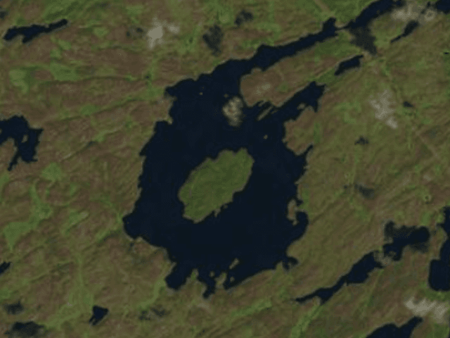
Gow
Gow Crater is a 5-kilometer wide impact structure located in Saskatchewan, Canada, estimated to be less than 250 million years old. It is notable for its classic crater lake, Gow Lake, which features a central island, Calder Island, formed by the uplifted center of the impact. Gow Crater is significant as the smallest known Canadian crater with an uplift structure and the only preserved example of a transitional impact structure on Earth.
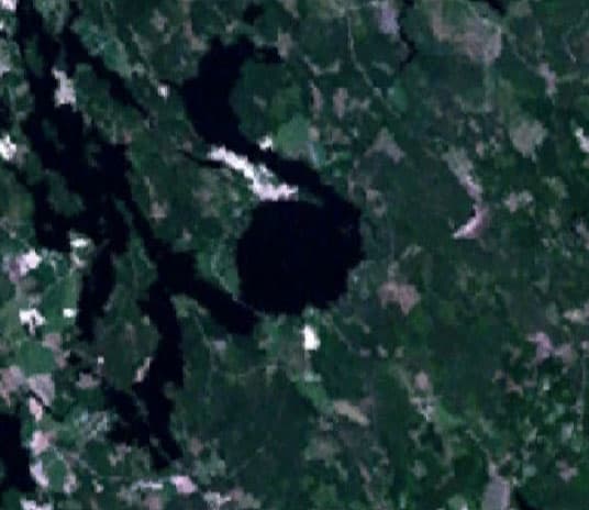
Karikkoselkä
Karikkoselkä is a lake situated within an impact crater in Petäjävesi, Finland. It is notable for its unusually round shape, a characteristic that distinguishes it from the glacially-formed elongated lakes common in the region. Evidence such as shatter cones, magnetic anomalies, and deep drilling samples confirm its impact origin, making it the smallest identified impact crater in Finland.
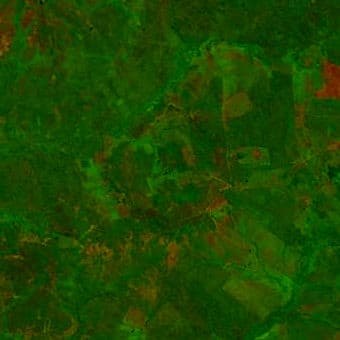
Riachão
The Riachão Ring is a meteorite impact crater located in Brazil's Parnaíba Basin. With a diameter of 4.5 kilometers, its age is estimated to be less than 200 million years. The crater is exposed at the surface and shows evidence of shock deformation in quartz grains, supporting its impact origin despite significant erosion.