
Lago di Doberdò
Lago di Doberdò is a significant sinkhole located on the Karst plateau in northeastern Italy, near the Slovenian border. Its size and water level fluctuate dramatically throughout the year due to its connection with underground water systems, making it a dynamic geological feature and an important part of the regional hydrological network.
Key Facts
- ›Area varies seasonally, reaching approximately 0.36 km².
- ›Depth typically ranges from 5 to 10 meters.
- ›Width can reach up to 350 meters and length up to 1.2 km.
- ›Connects to the underground springs that feed the Timavo River.
- ›Almost completely disappears during drought periods, becoming marsh-like.
- ›Located on the western edge of the Karst plateau.

Lake Doberdò, Doberdobsko jezero
Seasonal Fluctuation In Size, Connection To Underground Water Systems, Transformation Into A Marsh During Drought
Freshwater
About Lago di Doberdò
Lago di Doberdò, also known as Lake Doberdò in Italian and Doberdobsko jezero in Slovene, is a notable sinkhole situated in the Province of Gorizia, within the Friuli-Venezia Giulia region of Italy. Its location is on the westernmost edge of the Karst plateau, a region renowned for its karst topography, and it lies in close proximity to the border with Slovenia. The sinkhole derives its name from the nearby village of Doberdò del Lago.
Hydrology and Fluctuation
The most striking characteristic of Lago di Doberdò is its dynamic nature, particularly its fluctuating water levels and area. Depending on the time of year, its surface area can reach approximately 0.36 km². The sinkhole's depth typically ranges between 5 and 10 meters. During wetter periods, especially in autumn, the lake can extend up to 1.2 kilometers in length and 350 meters in width. However, this changes dramatically during periods of drought, when the lake may almost entirely disappear, transforming into a marsh-like area. This significant variation underscores the sinkhole's dependence on regional hydrological cycles.
Geological Connections
The sinkhole is geologically significant due to its connection with the underlying karst system. The water filling Lago di Doberdò is filtered through various ponors, which are natural underground drainage channels. Crucially, the sinkhole is linked to the underground springs that feed the Timavo River, a watercourse located a few kilometers to the southeast. This subterranean connection highlights the intricate and often hidden water systems characteristic of karst landscapes, making Lago di Doberdò an important component of the regional hydrogeology.
Source: Wikipedia ↗
Frequently Asked Questions
What is Lago di Doberdò?
Lago di Doberdò is a sinkhole located in the Province of Gorizia, Friuli-Venezia Giulia, Italy. It is situated on the westernmost edge of the Karst plateau, close to the Slovenian border.
How large is Lago di Doberdò?
The area of Lago di Doberdò varies seasonally, reaching approximately 0.36 km². It can be up to 1.2 km long and 350 meters wide, typically at its largest in autumn.
What is the depth of Lago di Doberdò?
The depth of the sinkhole varies, generally ranging from 5 to 10 meters. Its water level is highly dependent on seasonal rainfall and underground water flows.
What happens to Lago di Doberdò during dry periods?
During frequent drought periods, the lake almost completely disappears. It transforms into a marsh-like area, highlighting the dynamic nature of this sinkhole's hydrology.
What is the geological significance of Lago di Doberdò?
Lago di Doberdò is significant as it is connected to the underground ponors that filter its water. These connections link it to the springs feeding the Timavo River, illustrating the complex hydrological system of the Karst region.
Related Sinkholes
Pozzo del Merro
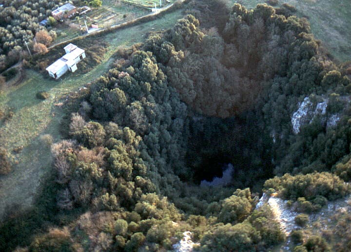
Pozzo del Merro is a remarkably deep flooded sinkhole located northeast of Rome, Italy, recognized as the second deepest underwater vertical cave globally. Its immense depth, reaching at least 392 meters, has made it a subject of intense exploration by remotely operated vehicles, revealing a complex underwater passage.

Blue Lake
Blue Lake is a significant karst sinkhole located near Imotski, Croatia. It is known for its dramatic seasonal water level fluctuations and its considerable depth, potentially formed by the collapse of a large cave. The lake is a popular site for tourism and outdoor activities.
Gurio Lamanna
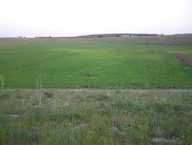
Gurio Lamanna is a large doline, often referred to as a "karst basin," located in the Murge plateau of southern Italy, near Gravina in Puglia and Altamura. Its significant size, shallow depth, and flat, fertile bottom distinguish it from typical dolines, making it a notable example of karst landforms in the region. Despite its size, it was largely unknown to scientists until the early 20th century.