
Pozzo del Merro
dissolution·Italy·carbonate rock
Pozzo del Merro is a remarkably deep flooded sinkhole located northeast of Rome, Italy, recognized as the second deepest underwater vertical cave globally. Its immense depth, reaching at least 392 meters, has made it a subject of intense exploration by remotely operated vehicles, revealing a complex underwater passage.
Key Facts
- ›It is the second deepest underwater vertical cave in the world.
- ›Its maximum confirmed depth is 392 meters (1,286 ft).
- ›Exploration in 2000 by ROVs failed to reach the bottom, with one reaching 210 meters and another 310 meters.
- ›A 2002 expedition with the 'Prometeo' robot confirmed the depth of 392 meters and found a continuing horizontal passage.
- ›It is situated at the bottom of an 80-meter conical pit.
- ›Pozzo del Merro is part of the Macchia DI Gattaceca e Macchia del Barco natural reserve.
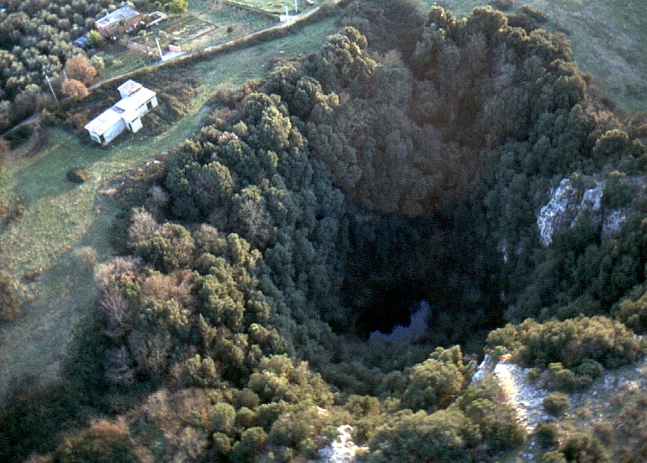
- Second Deepest Underwater Vertical Cave In the World
- Narrow Horizontal Passage Continuing Beyond the Main Depth
About Pozzo del Merro
Pozzo del Merro is a significant flooded sinkhole located in the countryside northeast of Rome, Italy. It holds the distinction of being the second deepest underwater vertical cave globally, with its depths presenting a formidable challenge for exploration.
Geological Significance
The sinkhole is situated at the bottom of an 80-meter conical pit. Its confirmed maximum depth is 392 meters (1,286 ft). Early explorations in 2000 using remotely operated vehicles (ROVs) were unable to reach the bottom, with one ROV reaching 210 meters and another 310 meters. A more advanced expedition in 2002 with the 'Prometeo' robot successfully reached the bottom at 392 meters and discovered a narrow passage that continues horizontally, suggesting a more complex subterranean system.
Pozzo del Merro was formed by volcanic activity eroding the carbonate rock, a geological process similar to the formation of cenotes. It is part of the Macchia di Gattaceca e Macchia del Barco natural reserve, which was established in 1997.
Source: Wikipedia ↗
Frequently Asked Questions
How deep is Pozzo del Merro?
Pozzo del Merro is at least 392 meters (1,286 ft) deep. Explorations by remotely operated vehicles have confirmed this depth, with one robot reaching the bottom and discovering a further horizontal passage.
What makes Pozzo del Merro significant?
Its geological significance lies in its extreme depth, making it the second deepest underwater vertical cave known globally. This has made it a key site for underwater exploration and geological research.
How was Pozzo del Merro formed?
The sinkhole was formed through volcanic activity that eroded the surrounding carbonate rock. This process is similar to the formation of cenotes.
Where is Pozzo del Merro located?
Pozzo del Merro is situated in the countryside northeast of Rome, Italy. It is located within the Macchia di Gattaceca e Macchia del Barco natural reserve.
Has the bottom of Pozzo del Merro ever been reached?
Yes, the bottom of Pozzo del Merro was reached in 2002 by the 'Prometeo' robot at a depth of 392 meters. This exploration also revealed a narrow passage continuing horizontally.
Related Sinkholes

Lago di Doberdò
Lago di Doberdò is a significant sinkhole located on the Karst plateau in northeastern Italy, near the Slovenian border. Its size and water level fluctuate dramatically throughout the year due to its connection with underground water systems, making it a dynamic geological feature and an important part of the regional hydrological network.
Gurio Lamanna
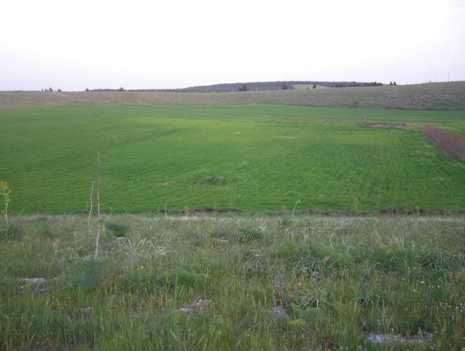
Gurio Lamanna is a large doline, often referred to as a "karst basin," located in the Murge plateau of southern Italy, near Gravina in Puglia and Altamura. Its significant size, shallow depth, and flat, fertile bottom distinguish it from typical dolines, making it a notable example of karst landforms in the region. Despite its size, it was largely unknown to scientists until the early 20th century.
Pulicchio di Gravina
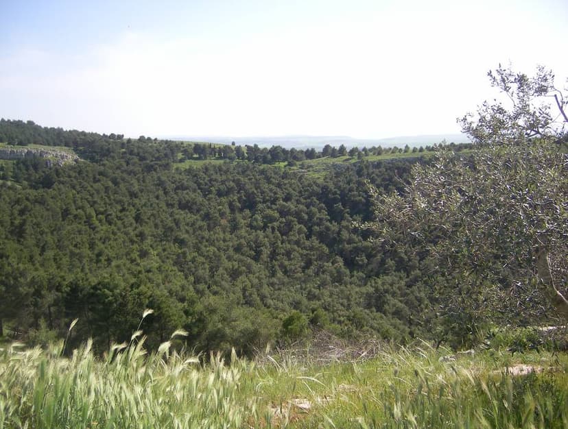
Pulicchio di Gravina is the second-largest doline on the Murge plateau in Apulia, southern Italy, distinguished by its regular, egg-like shape and significant depth. Its formation is primarily attributed to karst processes, specifically the erosive and chemical actions of rainwater on the region's fractured limestone, though debate exists regarding the exact balance between superficial erosion and potential subsurface collapse.