
Cataract Canyon
Cataract Canyon is a significant 74 km stretch of the Colorado River in southern Utah, known for its powerful whitewater rapids. Carved into the Colorado Plateau, its lower half is submerged under Lake Powell, impacting its historical geology and accessibility. The canyon holds historical importance for indigenous peoples and early European explorers, and remains a popular destination for whitewater rafting.
Key Facts
- ›Located within Canyonlands National Park and Glen Canyon National Recreation Area in southern Utah.
- ›Extends 74 km (46 miles) from the confluence of the Green and Colorado Rivers to the Dirty Devil River.
- ›The lower half of the canyon is submerged beneath Lake Powell when water levels are high.
- ›The oldest visible rock layer is the Paradox Formation, dating back approximately 320 million years.
- ›Features powerful 'big water' rapids, comparable to those in the Grand Canyon, with some rapids named 'Big Drop 1', 'Big Drop 2', and 'Big Drop 3'.
- ›The Colorado River flow through the canyon is largely unregulated, leading to potentially extreme levels during spring runoff.

River Erosion
Big Drop 1, Big Drop 2, Big Drop 3, Little Niagara, Satan's Gut, the Claw
About Cataract Canyon
Cataract Canyon is a formidable 74-kilometer (46-mile) stretch of the Colorado River situated in southern Utah, traversing both Canyonlands National Park and Glen Canyon National Recreation Area. Its dramatic landscape is carved into the vast Colorado Plateau, a region significantly uplifted millions of years ago. The canyon begins at the confluence of the Green and Colorado Rivers and concludes at its junction with the Dirty Devil River. A significant characteristic of Cataract Canyon is that its lower half becomes submerged beneath the waters of Lake Powell when the lake reaches its normal high water elevation of 1,100 meters (3,700 feet).
Geology
The geological narrative of Cataract Canyon is deeply intertwined with the history of the Colorado Plateau. This plateau, a substantial continental uplift in the American Southwest, was once near sea level up until approximately 80 million years ago. Over eons, a cycle of transgressing and regressing inland seas deposited horizontal layers of rock. A pivotal event was the Laramide orogeny, a series of mountain-building episodes occurring 70 to 80 million years ago, which elevated the entire region. Subsequently, the Colorado River began its erosive work, cutting through these rock strata and exposing their ancient layers. The oldest rock formation visible within Cataract Canyon is the Paradox Formation, which dates back an estimated 320 million years.
History and Exploration
Evidence suggests that indigenous peoples, most likely from the Fremont culture, inhabited the Canyonlands region long before the arrival of European settlers. Within Cataract Canyon, rock art and ancient ruins dating back at least 800 years have been discovered, attesting to this early human presence. Due to its remote and challenging terrain, European explorers and settlers were slow to reach the area, viewing the Colorado River and its canyons more as obstacles than as destinations for exploration. The first European documented to reach Cataract Canyon was fur trapper Denis Julien in 1836; his carved inscription is now lost beneath Lake Powell.
The year 1869 marked the first organized exploration of the canyon's entire length by the Powell Expedition, led by John Wesley Powell. This expedition navigated wooden boats from Wyoming down the Green River to its confluence with the Colorado River, at the head of Cataract Canyon. The powerful rapids of Cataract Canyon presented a significant challenge, forcing Powell and his crew to portage their boats around each rapid, a strenuous undertaking. It was the intensity of these rapids that led Powell to name the canyon "Cataract Canyon." Following their passage through Cataract, Powell's expedition continued downstream through Glen Canyon (now inundated by Lake Powell) and ultimately the Grand Canyon.
Following Powell, other river runners ventured through the canyon. Nathanial Galloway made multiple trips in 1894, later pioneering rowing techniques still in use. The Kolb brothers, Emery and Ellsworth, traversed the canyon in 1911, eventually establishing a studio at the Grand Canyon's South Rim to showcase their exploits. Buzz Holmstrom completed a solo journey in 1937, ending at the Hoover Dam. The first commercial outfitter, Norman Nevills, began offering trips in 1938. The introduction of surplus World War II rubber rafts in the early 1950s revolutionized river running, making navigation easier and more forgiving, which led to a surge in commercial expeditions through Cataract Canyon and the Grand Canyon.
Whitewater Rafting
Cataract Canyon continues to be a premier destination for whitewater rafting, renowned for its "big water" rapids that share characteristics with those found in the Grand Canyon. The canyon's rapids are rated on the Class I-VI International Scale of River Difficulty. A key factor distinguishing Cataract Canyon from the Grand Canyon is the largely unregulated flow of the Colorado River through it, being downstream from any major dam. This can lead to extreme water levels during the spring runoff, particularly following winters with substantial snowpack throughout the Colorado River watershed. During an average spring runoff, the river can peak around 1,500 cubic feet per second (1,500 m³/s), though a record flow of 114,900 cu ft/s (3,250 m³/s) was recorded on May 27, 1984. The rapids become challenging at flows above 30,000 cu ft/s (850 m³/s) and are considered extreme above 50,000 cu ft/s (1,400 m³/s).
While many rapids are sequentially numbered, some possess distinct names due to their location or notoriety. The "Big Drops" are a particularly infamous set of three rapids close together, which during high water, effectively merge into a single, massive rapid. This section features formidable hydraulic features such as "Little Niagara," "Satan's Gut," and "The Claw." During periods of high runoff, the National Park Service may establish a riverside camp below the Big Drops to assist with rescues of capsized rafts. However, it is generally expected that all river runners attempting Cataract Canyon, regardless of water level, should possess the capability for self-rescue and not rely on NPS support.
Historically, Cataract Canyon contained other notable rapids like "Gypsum Canyon Rapid" and "Dark Canyon Rapid," which are now submerged under Lake Powell and buried in sediment. River trips traversing Cataract Canyon typically begin with flatwater sections above the Green and Colorado River confluence. Most groups launch from Potash or Mineral Bottom, spending up to five days on the river before entering the canyon. Motorized trips can cover this initial distance in a single day. Regardless of the watercraft, all groups must navigate across Lake Powell to reach their take-out point, often at the Dirty Devil River or Hite Marina. Depending on the lake's water level, this final segment can extend up to 56 kilometers (35 miles) of flatwater.
Several commercial outfitters provide guided excursions through Cataract Canyon, with trip durations ranging from one to six days and employing both motorized and non-motorized boats. Private groups are required to obtain a permit from the National Park Service before commencing their journey.
Source: Wikipedia ↗
Frequently Asked Questions
How was Cataract Canyon formed?
Cataract Canyon was carved by the Colorado River into the Colorado Plateau, an area that was uplifted approximately 70 to 80 million years ago. The river cut through horizontally deposited rock layers, exposing the ancient geological formations.
What are the main geological features of Cataract Canyon?
The canyon showcases rock layers deposited over millions of years, with the oldest visible layer being the Paradox Formation from about 320 million years ago. The Laramide orogeny played a role in uplifting the region, allowing the river to carve its path.
What kind of activities can be done in Cataract Canyon?
Cataract Canyon is a popular destination for whitewater rafting, known for its challenging 'big water' rapids. Trips typically last from one to six days, utilizing both motorized and non-motorized vessels.
How can I access Cataract Canyon?
Access to Cataract Canyon is primarily via the Colorado River. Most trips launch from Potash or Mineral Bottom and can take up to five days before entering the canyon. Motorized trips can be shorter. After exiting the canyon, participants traverse Lake Powell to a take-out point.
What are the notable rapids in Cataract Canyon?
The canyon is famous for its powerful rapids, often simply named sequentially like Rapid 1, Rapid 2, etc. Particularly notorious are the 'Big Drops' (1, 2, and 3) which can merge into one large rapid during high water. Other named features within these drops include 'Little Niagara', 'Satan's Gut', and 'The Claw'.
Is the water flow in Cataract Canyon regulated?
Unlike the Grand Canyon, the flow of the Colorado River through Cataract Canyon is generally unregulated because it is far downstream from any major dam. This means the river can reach extreme levels during spring runoff, especially in years with abundant snow.
Related Canyons
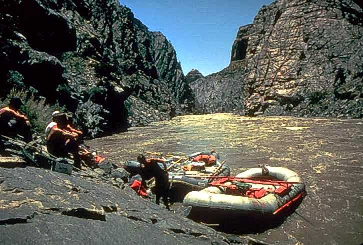
Westwater Canyon
Westwater Canyon is a narrow gorge carved by the Colorado River in eastern Utah, notable for its exposed Precambrian basement rocks within the inner gorge. It features challenging Class III and IV rapids, including the significant "Skull" rapid, making it a draw for whitewater enthusiasts. The canyon is managed by the Bureau of Land Management, which oversees a permitting system for river travelers.

Grand Canyon
The Grand Canyon is a vast, steep-sided canyon carved by the Colorado River in Arizona, United States. Its immense size and intricate, colorful landscape are renowned, exposing nearly two billion years of Earth's geological history. The canyon has been continuously inhabited by Native Americans for thousands of years and holds significant cultural and geological importance.
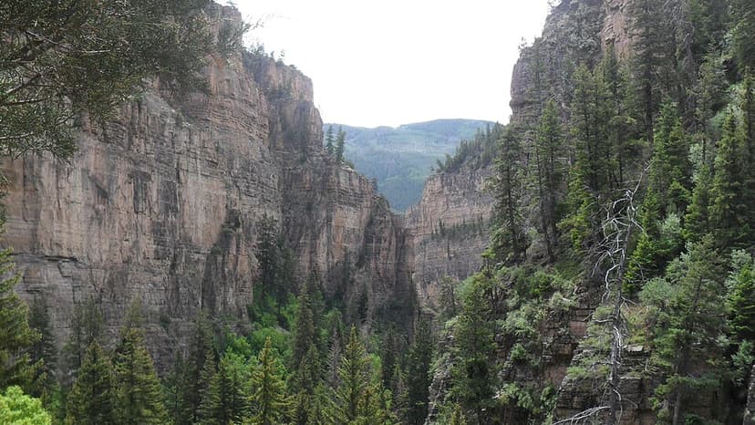
Glenwood Canyon
Glenwood Canyon is a rugged and scenic 20 km canyon in western Colorado, carved by the Colorado River. Its formation during the Pleistocene epoch involved the rapid erosion of sedimentary rock layers, including sandstone and Cambrian rock. Historically significant as a transportation corridor, it currently hosts Interstate 70 and a major railroad line, making it a notable natural feature on the U.S. Interstate Highway System.